Small airport · Canada
Fogo AirportCDY3
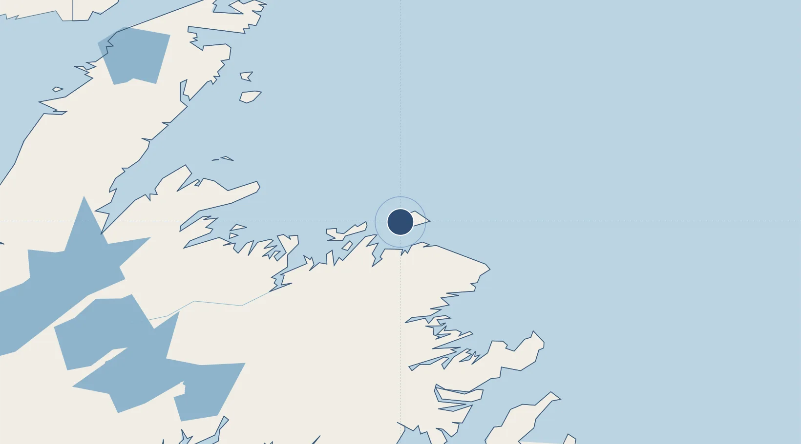
49.6575°, -54.2375°
3,000 ft
Longest runway
1
Runways
80 ft
Elevation
Runway & Layout

Radio Frequencies
ATF
123.2 MHz
CNTR
132.1 MHz
GANDER CNTR
Navaids
7C NDB Fogo 237 kHz
Runways · 1
| Runway | Dimensions | Surface | True heading | Lit |
|---|---|---|---|---|
| 10/28 | 3,000 × 75ft | Asphalt | 081° | ✓ |
Airport Specifications
ICAO code
CDY3
Airport class
Small airport
Scheduled service
Yes
Runway surface
Asphalt
Served city
Fogo
Location
Nearby Logistics Neighbours
Airports
- 1Gander International Airport84 km
- 2St. Anthony Airport233 km
- 3Deer Lake Airport234 km
- 4St. John's International Airport252 km
- 5Lourdes-de-Blanc-Sablon Airport288 km
Cities
- 1Fogo7 km
- 2Seldom8 km
- 3Change Islands13 km
- 4Carmanville32 km
- 5Twillingate37 km
Ports
- 1Carmanville29 km
- 2Twillingate38 km
- 3Lewisporte74 km
- 4Botwood98 km
- 5Springdale133 km
Trade Zones
- 1Crossroads Business Park83 km
- 2Cape Breton Regional Municipality Foreign Trade Zone621 km
- 3Halifax Gateway899 km
- 4Saint John1013 km
- 5FTZ No. 179 Madawaska1071 km
DatabookThe Record of Consolidated Knowledge
Canada beyond logistics?