Medium airport · St. Pierre & Miquelon
Saint-Pierre Pointe-Blanche AirportLFVP
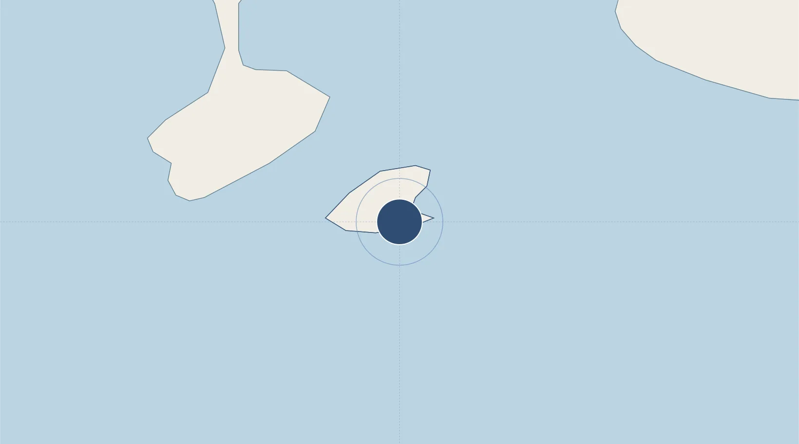
46.7627°, -56.1750°
5,906 ft
Longest runway
1
Runways
27 ft
Elevation
Runway & Layout

Radio Frequencies
TWR
119.1 MHz
CTAF
119.1 MHz
A/D
118.5 MHz
TRML
CNTR
134.9 MHz
GANDER CNTR
Navaids
SP NDB St-Pierre 386 kHz
SP DME St-Pierre 108.90 MHz
Runways · 1
| Runway | Dimensions | Surface | True heading | Lit |
|---|---|---|---|---|
| 08/26 | 5,906 × 150ft | Asphalt | 059° | ✓ |
Airport Specifications
IATA code
FSP
ICAO code
LFVP
Airport class
Medium airport
Scheduled service
Yes
Runway surface
Asphalt
Served city
Saint-Pierre
Location
Nearby Logistics Neighbours
Airports
- 1Miquelon Airport40 km
- 2Stephenville Dymond International Airport266 km
- 3Gander International Airport270 km
- 4St. John's International Airport276 km
- 5Deer Lake Airport287 km
Cities
- 1Saint-Pierre1 km
- 2Fortune43 km
- 3Grand Bank48 km
- 4Saint-Lawrence61 km
- 5Burin82 km
Ports
- 1Port De St Pierre2 km
- 2Grand Bank50 km
- 3Burgeo144 km
- 4Argentia177 km
- 5Come By Chance Harbor200 km
Trade Zones
- 1Crossroads Business Park271 km
- 2Cape Breton Regional Municipality Foreign Trade Zone357 km
- 3Halifax Gateway621 km
- 4Saint John781 km
- 5FTZ No. 179 Madawaska923 km
DatabookThe Record of Consolidated Knowledge
St. Pierre & Miquelon beyond logistics?