Channel & Berth Profile
Pilotage, Tugs & Services
Pilotage compulsoryNO
Pilotage availableYES
Tug assistanceNO
Salvage tugsNO
Shore powerYES
Potable waterYES
Diesel bunkersYES
MedicalYES
Garbage disposalYES
Facilities & Capabilities
Container—
Ro-Ro—
Liquid bulkYES
Dry bulkYES
Oil terminal—
Break bulkYES
Dry dock—
RepairsNO
BunkeringYES
Rail link—
Dangerous cargo—
ISPS security—
Harbour Specifications
Harbour size
Small
Harbour type
Coastal (Natural)
Shelter
Good
Water body
North Atlantic Ocean
Tidal range
0.7 m
Overhead limit
No
Pilotage
No
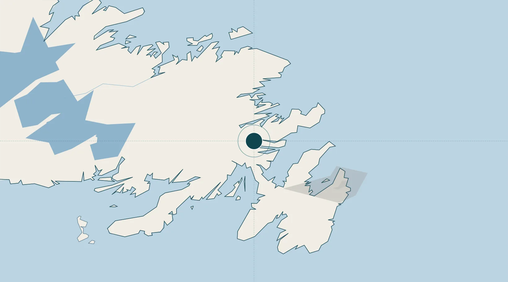
Location
Nearby Logistics Neighbours
Ports
- 1Come By Chance Harbor42 km
- 2Catalina Harbor76 km
- 3Bay Roberts83 km
- 4Argentia97 km
- 5St John's116 km
Cities
- 1Come By Chance36 km
- 2Bull Arm39 km
- 3Arnold's Cove46 km
- 4Whiffen Head48 km
- 5Hants Harbour54 km
Airports
- 1Gander International Airport96 km
- 2St. John's International Airport109 km
- 3Fogo Airport166 km
- 4Miquelon Airport218 km
- 5Saint-Pierre Pointe-Blanche Airport229 km
Trade Zones
- 1Crossroads Business Park97 km
- 2Cape Breton Regional Municipality Foreign Trade Zone560 km
- 3Halifax Gateway835 km
- 4Saint John977 km
- 5FTZ No. 179 Madawaska1079 km
DatabookThe Record of Consolidated Knowledge
Canada beyond logistics?