Transport Functions
Port
Road
Airport
Hub Profile
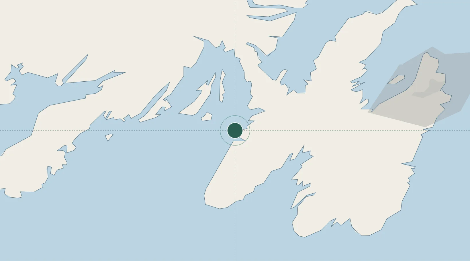
Place type
Populated place
Region
Newfoundland and Labrador
Time zone
America/St_Johns
Elevation
8 m
Location
Nearby Logistics Neighbours
Cities
- 1Long Harbour21 km
- 2Norman's Cove37 km
- 3Saint-Joseph's42 km
- 4Dildo44 km
- 5New Harbour47 km
Ports
- 1Come By Chance Harbor56 km
- 2Bay Roberts64 km
- 3Bay Bulls89 km
- 4Clarenville97 km
- 5St John's102 km
Airports
- 1St. John's International Airport100 km
- 2Saint-Pierre Pointe-Blanche Airport175 km
- 3Miquelon Airport181 km
- 4Gander International Airport187 km
- 5Fogo Airport263 km
Trade Zones
- 1Crossroads Business Park188 km
- 2Cape Breton Regional Municipality Foreign Trade Zone530 km
- 3Halifax Gateway796 km
- 4Saint John953 km
- 5FTZ No. 179 Madawaska1080 km
DatabookThe Record of Consolidated Knowledge
Canada beyond logistics?