Large airport · Canada
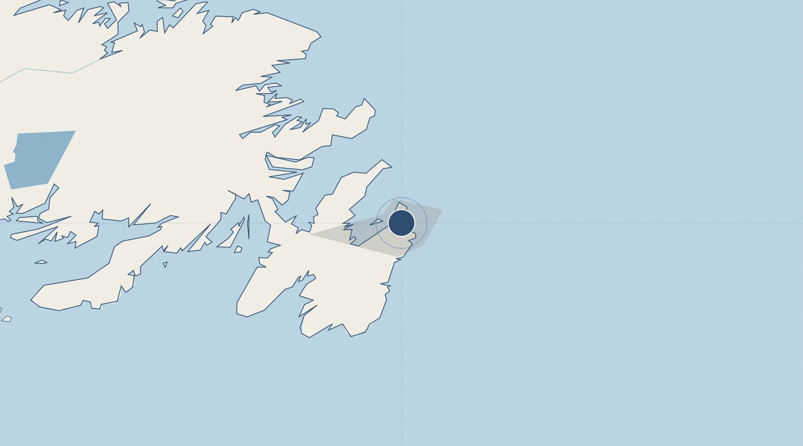
St. John's International AirportCYYT
47.6186°, -52.7519°
8,502 ft
Longest runway
2
Runways
461 ft
Elevation
Runway & Layout

Radio Frequencies
ATIS
128 MHz
TWR
120.6 MHz
GND
121.9 MHz
CNTR
133.15 MHz
GANDER CNTR
FBO
123 MHz
Shell
RCO
123.275 MHz
HALIFAX RDO
Navaids
UYT TACAN St.John's 108.60 MHz
YYT VOR-DME Torbay 113.50 MHz
Runways · 2
| Runway | Dimensions | Surface | True heading | Lit |
|---|---|---|---|---|
| 10/28 | 8,502 × 200ft | Asphalt | 086° | ✓ |
| 16/34 | 7,005 × 197ft | Asphalt | 142° | ✓ |
Airport Specifications
IATA code
YYT
ICAO code
CYYT
Airport class
Large airport
Scheduled service
Yes
Runway surface
Asphalt
Served city
St. John's
Location
Nearby Logistics Neighbours
Airports
- 1Gander International Airport199 km
- 2Fogo Airport252 km
- 3Saint-Pierre Pointe-Blanche Airport276 km
- 4Miquelon Airport279 km
- 5Deer Lake Airport386 km
Cities
- 1Saint-John's7 km
- 2Conception Bay South8 km
- 3Paradise13 km
- 4Bay Bulls32 km
- 5Harbour Grace38 km
Ports
- 1St John's7 km
- 2Bay Bulls34 km
- 3Bay Roberts38 km
- 4Come By Chance Harbor97 km
- 5Argentia99 km
Trade Zones
- 1Crossroads Business Park200 km
- 2Cape Breton Regional Municipality Foreign Trade Zone629 km
- 3Halifax Gateway897 km
- 4Saint John1052 km
- 5FTZ No. 179 Madawaska1171 km
DatabookThe Record of Consolidated Knowledge
Canada beyond logistics?