UN/LOCODE hub · Canada
CANCV

Norman's Cove

47.5500°, -53.6667°
2
Transport functions

Transport Functions

Port
Road
UN/LOCODE

Hub Profile

Region
NL
GeoNames

Location

Location of CANCV
Natural Earth 10m (public domain) · NL · CANCV · 47.55, -53.67GoogleOSMYandex

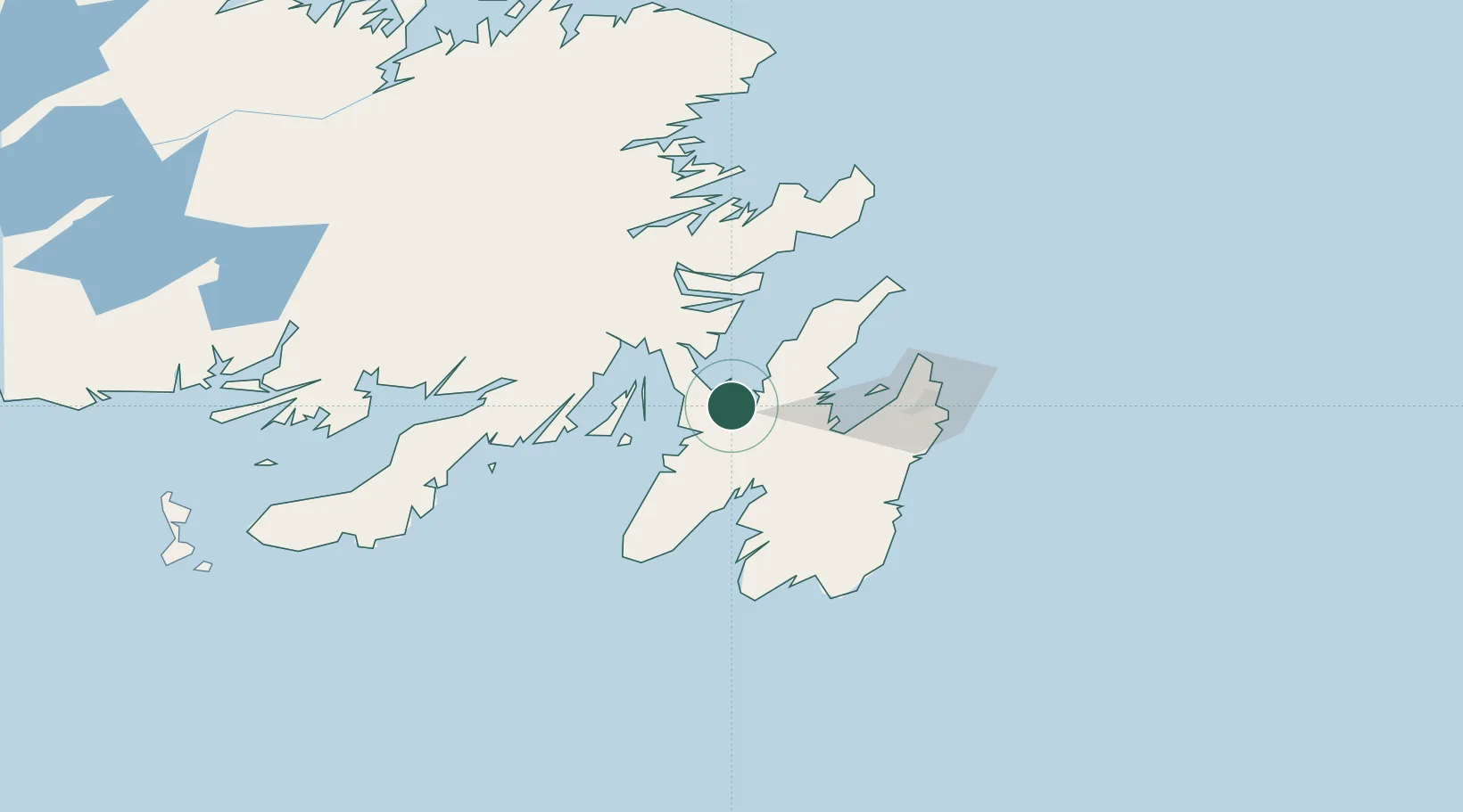
Nearby Logistics Neighbours

Cities
  1. 1Dildo9 km
  2. 2New Harbour11 km
  3. 3Long Harbour16 km
  4. 4Bay Roberts28 km
  5. 5Spaniards Bay29 km
Nearest neighbours — logibook spatial index (haversine) over the source coordinates
Ports
  1. 1Bay Roberts31 km
  2. 2Argentia37 km
  3. 3Come By Chance Harbor38 km
  4. 4Bay Bulls69 km
  5. 5St John's73 km
Nearest neighbours — logibook spatial index (haversine) over the source coordinates
Airports
  1. 1St. John's International Airport69 km
  2. 2Gander International Airport168 km
  3. 3Saint-Pierre Pointe-Blanche Airport209 km
  4. 4Miquelon Airport211 km
  5. 5Fogo Airport238 km
Nearest neighbours — logibook spatial index (haversine) over the source coordinates
Trade Zones
  1. 1Crossroads Business Park169 km
  2. 2Cape Breton Regional Municipality Foreign Trade Zone560 km
  3. 3Halifax Gateway829 km
  4. 4Saint John983 km
  5. 5FTZ No. 179 Madawaska1103 km
Nearest neighbours — logibook spatial index (haversine) over the source coordinates
DatabookThe Record of Consolidated Knowledge
Canada beyond logistics?
Browse databook

All Sources

LocationsUN/LOCODE
UN/LOCODE — free
Portsthe NGA World Port Index
Public domain (US gov)
AirportsOurAirports
Public domain
Trade Zonesthe World Bank SEZ database
CC BY 4.0
Trade ZonesOpen Zone Map
CC BY
← Canada locations