UN/LOCODE hub · Canada
CASJH

Saint-Joseph's

47.1167°, -53.5167°
2
Transport functions

Transport Functions

Road
Multimodal
UN/LOCODE

Hub Profile

Region
NL
GeoNames

Location

Location of CASJH
Natural Earth 10m (public domain) · NL · CASJH · 47.12, -53.52GoogleOSMYandex

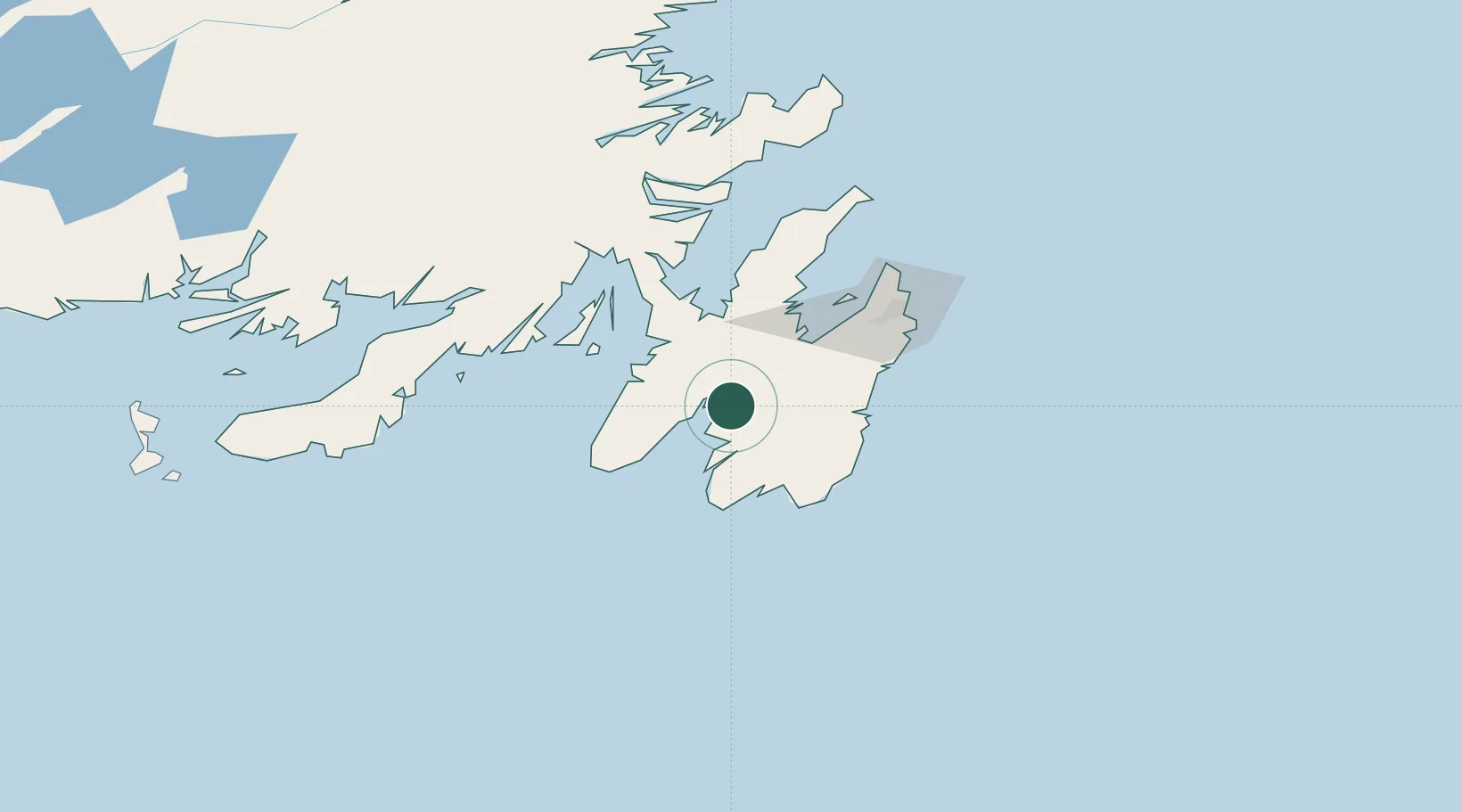
Nearby Logistics Neighbours

Cities
  1. 1Saint-Marys23 km
  2. 2Avondale41 km
  3. 3Long Harbour41 km
  4. 4Holyrood41 km
  5. 5Argentia42 km
Nearest neighbours — logibook spatial index (haversine) over the source coordinates
Ports
  1. 1Argentia41 km
  2. 2Bay Roberts56 km
  3. 3Bay Bulls57 km
  4. 4St John's79 km
  5. 5Come By Chance Harbor85 km
Nearest neighbours — logibook spatial index (haversine) over the source coordinates
Airports
  1. 1St. John's International Airport80 km
  2. 2Saint-Pierre Pointe-Blanche Airport206 km
  3. 3Miquelon Airport217 km
  4. 4Gander International Airport217 km
  5. 5Fogo Airport288 km
Nearest neighbours — logibook spatial index (haversine) over the source coordinates
Trade Zones
  1. 1Crossroads Business Park218 km
  2. 2Cape Breton Regional Municipality Foreign Trade Zone562 km
  3. 3Halifax Gateway825 km
  4. 4Saint John986 km
  5. 5FTZ No. 179 Madawaska1118 km
Nearest neighbours — logibook spatial index (haversine) over the source coordinates
DatabookThe Record of Consolidated Knowledge
Canada beyond logistics?
Browse databook

All Sources

LocationsUN/LOCODE
UN/LOCODE — free
Portsthe NGA World Port Index
Public domain (US gov)
AirportsOurAirports
Public domain
Trade Zonesthe World Bank SEZ database
CC BY 4.0
Trade ZonesOpen Zone Map
CC BY
← Canada locations