Transport Functions
Port
Road
Hub Profile
Place type
Populated place
Region
Newfoundland and Labrador
Time zone
America/St_Johns
Elevation
17 m
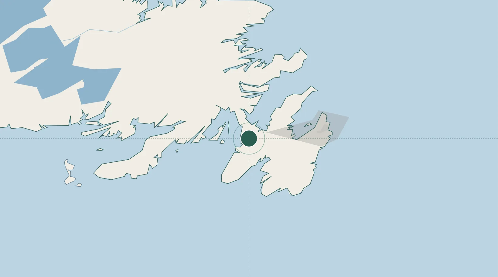
Location
Nearby Logistics Neighbours
Cities
- 1Norman's Cove16 km
- 2Argentia21 km
- 3Dildo23 km
- 4New Harbour26 km
- 5Whiffen Head39 km
Ports
- 1Argentia20 km
- 2Come By Chance Harbor44 km
- 3Bay Roberts44 km
- 4Bay Bulls75 km
- 5Clarenville83 km
Airports
- 1St. John's International Airport81 km
- 2Gander International Airport177 km
- 3Saint-Pierre Pointe-Blanche Airport195 km
- 4Miquelon Airport198 km
- 5Fogo Airport249 km
Trade Zones
- 1Crossroads Business Park178 km
- 2Cape Breton Regional Municipality Foreign Trade Zone547 km
- 3Halifax Gateway815 km
- 4Saint John971 km
- 5FTZ No. 179 Madawaska1094 km
DatabookThe Record of Consolidated Knowledge
Canada beyond logistics?