Channel & Berth Profile
Facilities & Capabilities
Container—
Ro-RoYES
Liquid bulk—
Dry bulk—
Oil terminal—
Break bulkYES
Dry dock—
Repairs—
Bunkering—
Rail link—
Dangerous cargo—
ISPS securityYES
Harbour Specifications
Water body
North Atlantic Ocean
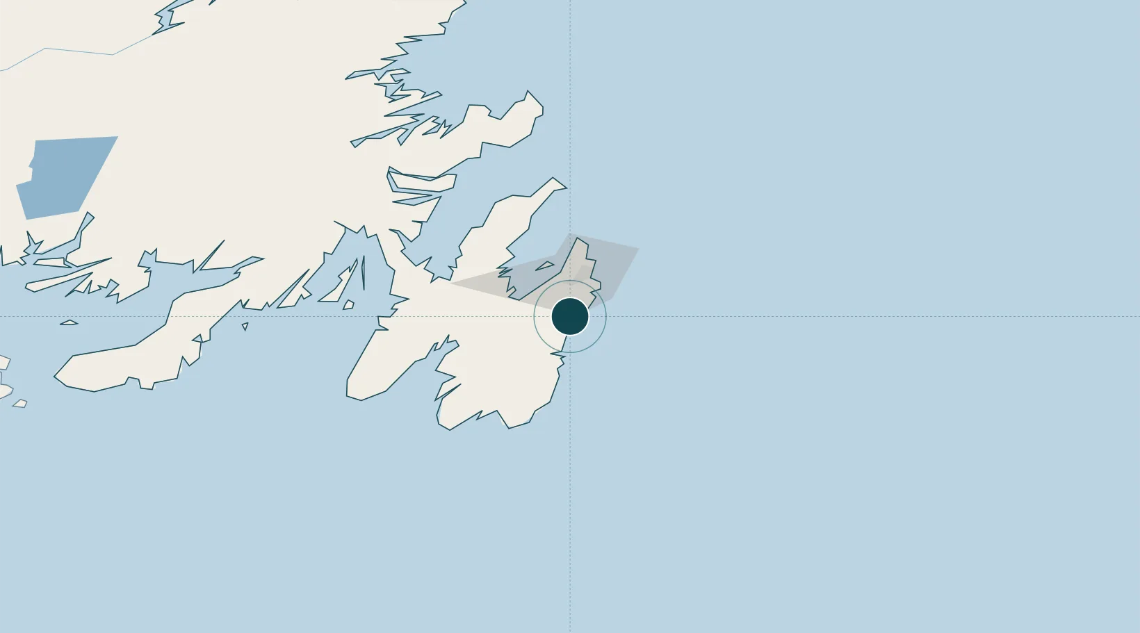
Location
Nearby Logistics Neighbours
Ports
- 1St John's29 km
- 2Bay Roberts45 km
- 3Argentia88 km
- 4Come By Chance Harbor105 km
- 5Clarenville128 km
Cities
- 1Holyrood25 km
- 2Paradise26 km
- 3Saint-John's28 km
- 4Avondale31 km
- 5Conception Bay South32 km
Airports
- 1St. John's International Airport34 km
- 2Gander International Airport222 km
- 3Saint-Pierre Pointe-Blanche Airport262 km
- 4Miquelon Airport270 km
- 5Fogo Airport281 km
Trade Zones
- 1Crossroads Business Park223 km
- 2Cape Breton Regional Municipality Foreign Trade Zone618 km
- 3Halifax Gateway882 km
- 4Saint John1042 km
- 5FTZ No. 179 Madawaska1169 km
DatabookThe Record of Consolidated Knowledge
Canada beyond logistics?