Transport Functions
Rail
Road
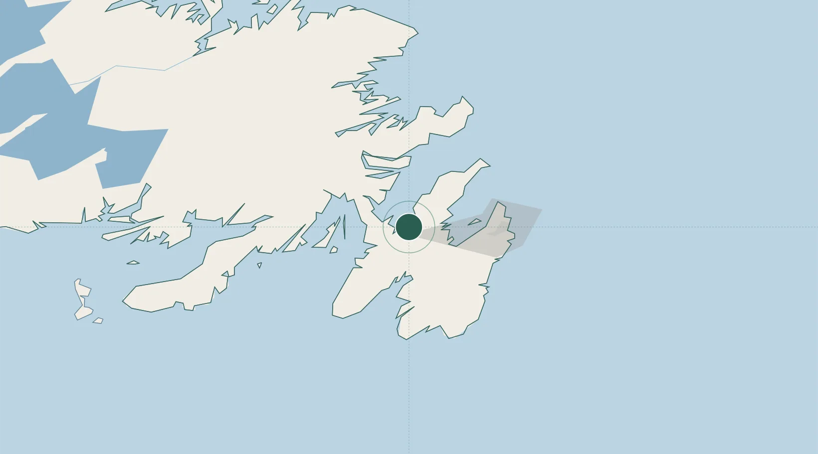
Hub Profile
Place type
Populated place
Region
Newfoundland and Labrador
Population
491
Time zone
America/St_Johns
Elevation
23 m
Location
Nearby Logistics Neighbours
Cities
- 1Dildo4 km
- 2Norman's Cove11 km
- 3Bay Roberts18 km
- 4Spaniards Bay18 km
- 5Coley's Point20 km
Ports
- 1Bay Roberts20 km
- 2Come By Chance Harbor44 km
- 3Argentia46 km
- 4Bay Bulls62 km
- 5St John's63 km
Airports
- 1St. John's International Airport59 km
- 2Gander International Airport169 km
- 3Saint-Pierre Pointe-Blanche Airport220 km
- 4Miquelon Airport221 km
- 5Fogo Airport236 km
Trade Zones
- 1Crossroads Business Park170 km
- 2Cape Breton Regional Municipality Foreign Trade Zone571 km
- 3Halifax Gateway840 km
- 4Saint John993 km
- 5FTZ No. 179 Madawaska1113 km
DatabookThe Record of Consolidated Knowledge
Canada beyond logistics?