Transport Functions
Port
Road
Hub Profile
Place type
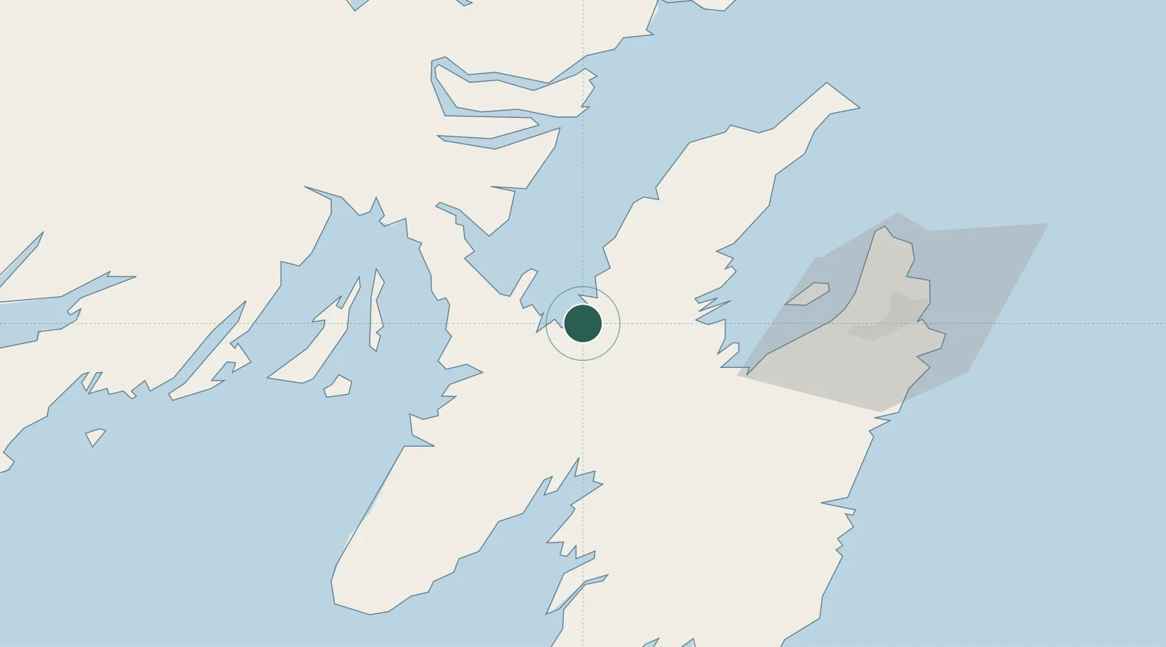
Populated place
Region
Newfoundland and Labrador
Population
800
Time zone
America/St_Johns
Elevation
34 m
Location
Nearby Logistics Neighbours
Cities
- 1New Harbour4 km
- 2Norman's Cove9 km
- 3Bay Roberts19 km
- 4Spaniards Bay20 km
- 5Coley's Point22 km
Ports
- 1Bay Roberts22 km
- 2Argentia43 km
- 3Come By Chance Harbor45 km
- 4Bay Bulls61 km
- 5St John's64 km
Airports
- 1St. John's International Airport60 km
- 2Gander International Airport172 km
- 3Saint-Pierre Pointe-Blanche Airport217 km
- 4Miquelon Airport219 km
- 5Fogo Airport240 km
Trade Zones
- 1Crossroads Business Park173 km
- 2Cape Breton Regional Municipality Foreign Trade Zone568 km
- 3Halifax Gateway837 km
- 4Saint John991 km
- 5FTZ No. 179 Madawaska1112 km
DatabookThe Record of Consolidated Knowledge
Canada beyond logistics?