Channel & Berth Profile
Pilotage, Tugs & Services
Pilotage compulsoryYES
Pilotage availableYES
Tug assistanceYES
Shore powerYES
Potable waterYES
Diesel bunkersYES
MedicalYES
Garbage disposalYES
Facilities & Capabilities
ContainerYES
Ro-RoYES
Liquid bulkYES
Dry bulkYES
Oil terminalYES
Break bulkYES
Dry dockNO
RepairsNO
BunkeringYES
Rail linkYES
Dangerous cargo—
ISPS securityYES
Harbour Specifications
Harbour size
Small
Harbour type
Coastal (Natural)
Shelter
Excellent
Water body
North Atlantic Ocean
Tidal range
1.4 m
Overhead limit
No
Pilotage
Yes
Liner Connectivity
41
PLSCI
Port Liner Shipping Connectivity Index for St John's, as published by UNCTAD for the latest available quarter. Higher values indicate stronger scheduled liner-shipping integration.
Shown relative to the highest per-port PLSCI in the dataset (1,657.9).
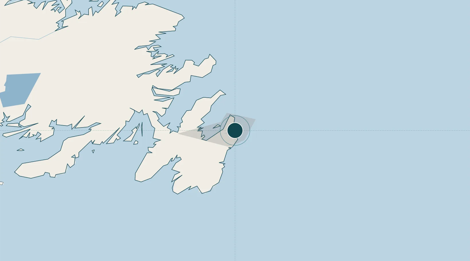
Location
Nearby Logistics Neighbours
Ports
- 1Bay Bulls29 km
- 2Bay Roberts42 km
- 3Argentia101 km
- 4Come By Chance Harbor102 km
- 5Catalina Harbor109 km
Cities
- 1Conception Bay South12 km
- 2Paradise14 km
- 3Bay Bulls28 km
- 4Holyrood38 km
- 5Avondale41 km
Airports
- 1St. John's International Airport7 km
- 2Gander International Airport206 km
- 3Fogo Airport259 km
- 4Saint-Pierre Pointe-Blanche Airport278 km
- 5Miquelon Airport282 km
Trade Zones
- 1Crossroads Business Park207 km
- 2Cape Breton Regional Municipality Foreign Trade Zone631 km
- 3Halifax Gateway898 km
- 4Saint John1054 km
- 5FTZ No. 179 Madawaska1175 km
DatabookThe Record of Consolidated Knowledge
Canada beyond logistics?