Transport Functions
Port
Road
Hub Profile
Region
NL
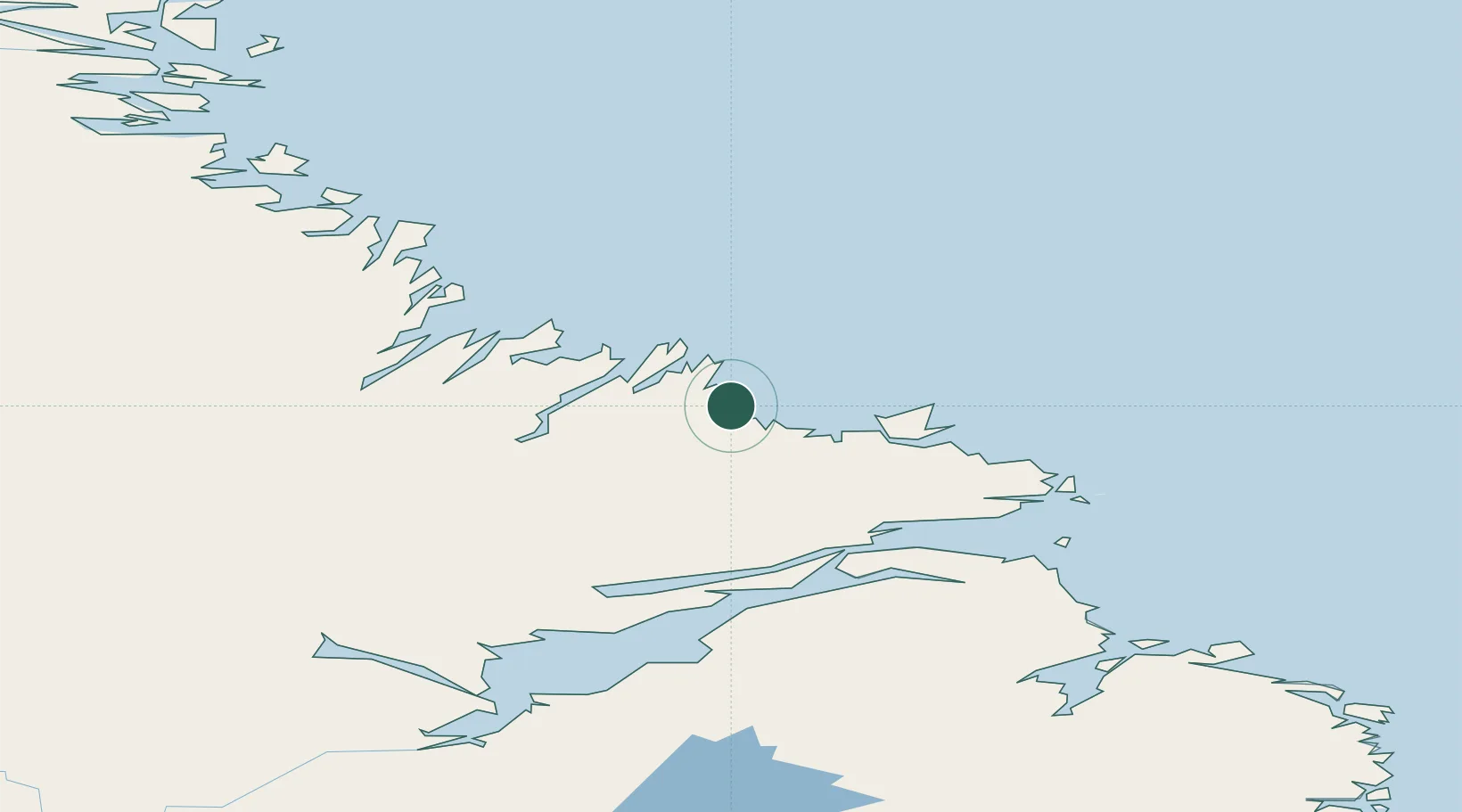
Location
Nearby Logistics Neighbours
Cities
- 1Hopedale102 km
- 2Goose Bay187 km
- 3Voisey's Bay237 km
- 4Nain251 km
- 5Drogheda Premiere Periclase269 km
Ports
- 1Goose Bay195 km
- 2Nain251 km
- 3Blanc Sablon407 km
- 4St Anthony454 km
- 5Roddickton487 km
Airports
- 1Makkovik Airport25 km
- 2Postville Airport56 km
- 3Rigolet Airport87 km
- 4Hopedale Airport102 km
- 5Natuashish Airport181 km
Trade Zones
- 1Crossroads Business Park727 km
- 2Cape Breton Regional Municipality Foreign Trade Zone982 km
- 3FTZ No. 179 Madawaska1072 km
- 4Saint John1186 km
- 5Halifax Gateway1189 km
DatabookThe Record of Consolidated Knowledge
Canada beyond logistics?