Small airport · Canada
Hopedale AirportCYHO
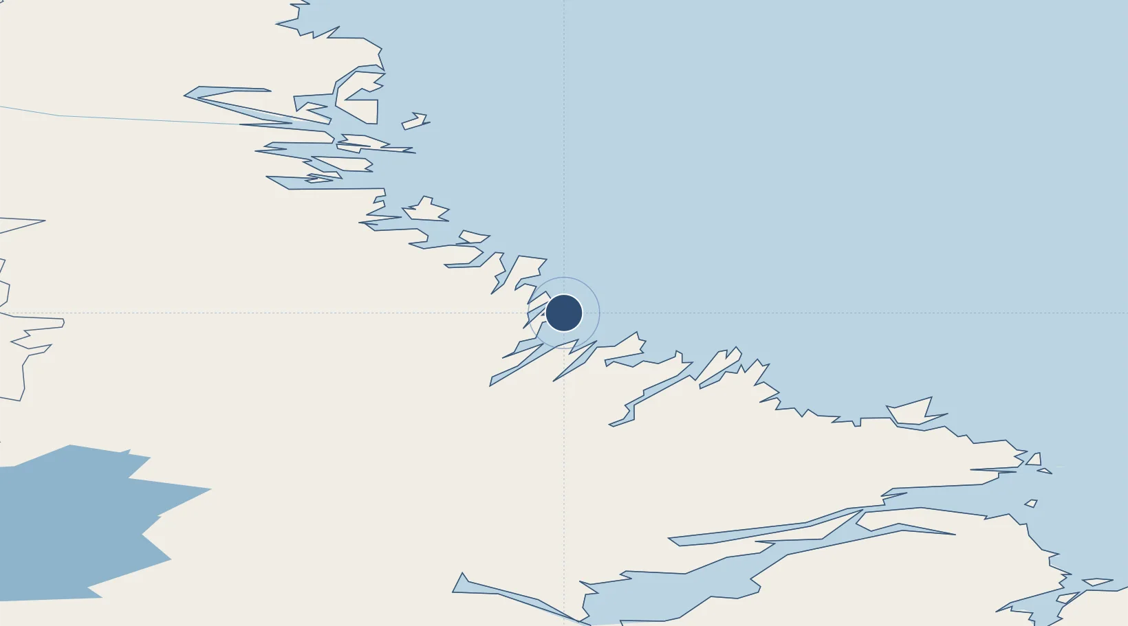
55.4488°, -60.2281°
2,500 ft
Longest runway
1
Runways
39 ft
Elevation
Runway & Layout

Runways · 1
| Runway | Dimensions | Surface | True heading | Lit |
|---|---|---|---|---|
| 06/24 | 2,500 × 75ft | GRAVEL | — | — |
Airport Specifications
IATA code
YHO
ICAO code
CYHO
Airport class
Small airport
Scheduled service
Yes
Runway surface
GRAVEL
Served city
Hopedale
Location
Nearby Logistics Neighbours
Airports
- 1Postville Airport66 km
- 2Makkovik Airport78 km
- 3Natuashish Airport79 km
- 4Nain Airport152 km
- 5Rigolet Airport181 km
Cities
- 1Hopedale1 km
- 2Adlavik102 km
- 3Voisey's Bay135 km
- 4Nain152 km
- 5Edwards Cove209 km
Ports
- 1Nain152 km
- 2Goose Bay232 km
- 3Blanc Sablon493 km
- 4St Anthony549 km
- 5Roddickton578 km
Trade Zones
- 1Crossroads Business Park819 km
- 2Cape Breton Regional Municipality Foreign Trade Zone1033 km
- 3FTZ No. 179 Madawaska1067 km
- 4Saint John1204 km
- 5Halifax Gateway1224 km
DatabookThe Record of Consolidated Knowledge
Canada beyond logistics?