Transport Functions
Port
Road
Airport
Hub Profile
Place type
Populated place
Region
Newfoundland and Labrador
Population
625
Time zone
America/Goose_Bay
Elevation
1 m
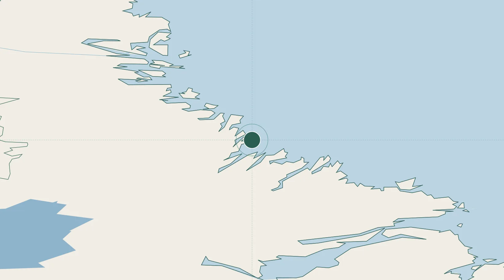
Location
Nearby Logistics Neighbours
Cities
- 1Adlavik102 km
- 2Voisey's Bay135 km
- 3Nain153 km
- 4Edwards Cove209 km
- 5Goose Bay228 km
Ports
- 1Nain153 km
- 2Goose Bay232 km
- 3Blanc Sablon493 km
- 4St Anthony549 km
- 5Roddickton578 km
Airports
- 1Hopedale Airport1 km
- 2Postville Airport66 km
- 3Makkovik Airport77 km
- 4Natuashish Airport80 km
- 5Nain Airport153 km
Trade Zones
- 1Crossroads Business Park818 km
- 2Cape Breton Regional Municipality Foreign Trade Zone1033 km
- 3FTZ No. 179 Madawaska1068 km
- 4Saint John1204 km
- 5Halifax Gateway1224 km
DatabookThe Record of Consolidated Knowledge
Canada beyond logistics?