Small airport · Canada
Postville AirportCCD4
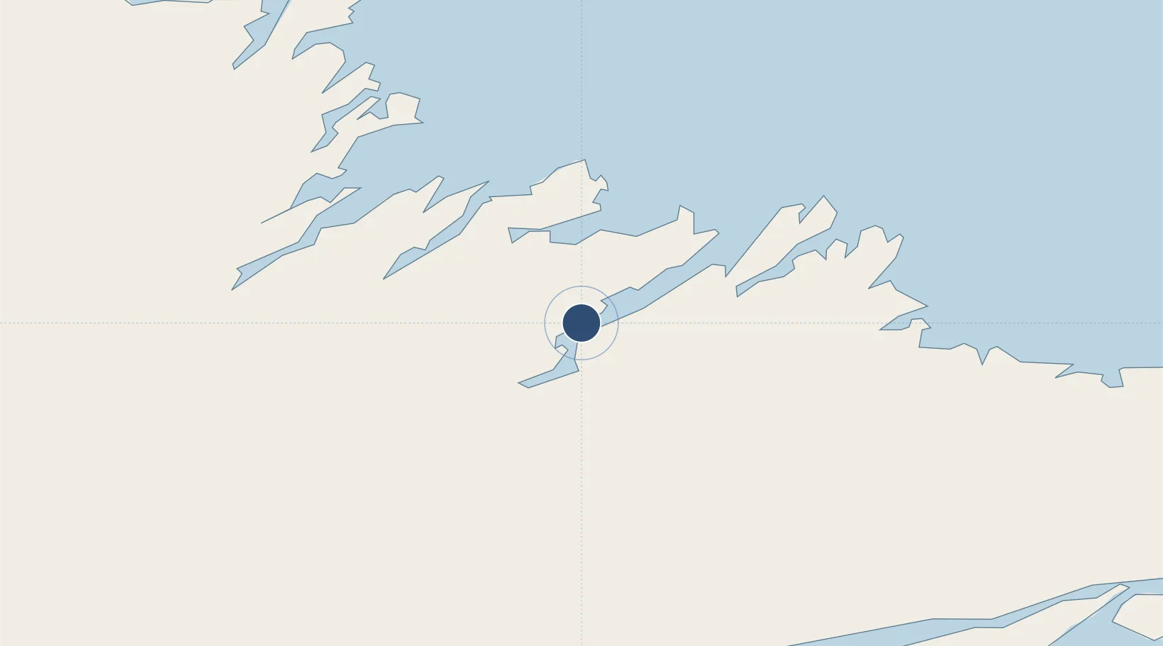
54.9105°, -59.7851°
2,500 ft
Longest runway
1
Runways
193 ft
Elevation
Runway & Layout

Navaids
3R NDB Postville 366 kHz
Runways · 1
| Runway | Dimensions | Surface | True heading | Lit |
|---|---|---|---|---|
| 06/24 | 2,500 × 75ft | GRAVEL | — | — |
Airport Specifications
IATA code
YSO
ICAO code
CCD4
Airport class
Small airport
Scheduled service
Yes
Runway surface
GRAVEL
Served city
Postville
Location
Nearby Logistics Neighbours
Airports
- 1Makkovik Airport42 km
- 2Hopedale Airport66 km
- 3Rigolet Airport118 km
- 4Natuashish Airport142 km
- 5Goose Bay Airport182 km
Cities
- 1Adlavik56 km
- 2Hopedale66 km
- 3Goose Bay170 km
- 4Voisey's Bay198 km
- 5Nain218 km
Ports
- 1Goose Bay175 km
- 2Nain218 km
- 3Blanc Sablon427 km
- 4St Anthony484 km
- 5Roddickton512 km
Trade Zones
- 1Crossroads Business Park753 km
- 2Cape Breton Regional Municipality Foreign Trade Zone975 km
- 3FTZ No. 179 Madawaska1036 km
- 4Saint John1160 km
- 5Halifax Gateway1173 km
DatabookThe Record of Consolidated Knowledge
Canada beyond logistics?