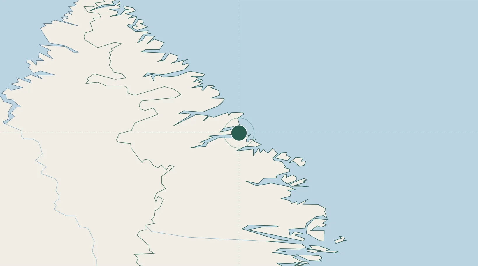
UN/LOCODE hub · Canada
CAHBN

Hebron

58.2000°, -62.6333°
1
Transport functions

Transport Functions

Port
UN/LOCODE

Hub Profile

Place type
Populated place
GeoNames
Region
Newfoundland and Labrador
GeoNames
Time zone
America/Goose_Bay
GeoNames
Elevation
10 m
GeoNames

Location

Location of CAHBN
Natural Earth 10m (public domain) · Newfoundland and Labrador · CAHBN · 58.20, -62.63GoogleOSMYandex

Nearby Logistics Neighbours

Cities
  1. 1Seven Islands Bay150 km
  2. 2Edwards Cove152 km
  3. 3Nain192 km
  4. 4Voisey's Bay222 km
  5. 5Kuujjuaq339 km
Nearest neighbours — logibook spatial index (haversine) over the source coordinates
Ports
  1. 1Nain192 km
  2. 2Goose Bay557 km
  3. 3Blanc Sablon832 km
  4. 4St Anthony884 km
  5. 5Havre St Pierre888 km
Nearest neighbours — logibook spatial index (haversine) over the source coordinates
Airports
  1. 1Nain Airport192 km
  2. 2Kangiqsualujjuaq (Georges River) Airport204 km
  3. 3Natuashish Airport269 km
  4. 4Hopedale Airport339 km
  5. 5Kuujjuaq Airport340 km
Nearest neighbours — logibook spatial index (haversine) over the source coordinates
Trade Zones
  1. 1Crossroads Business Park1157 km
  2. 2FTZ No. 179 Madawaska1272 km
  3. 3Cape Breton Regional Municipality Foreign Trade Zone1344 km
  4. 4Québec City FTZ1390 km
  5. 5Saint John1456 km
Nearest neighbours — logibook spatial index (haversine) over the source coordinates
DatabookThe Record of Consolidated Knowledge
Canada beyond logistics?
Browse databook

All Sources

LocationsUN/LOCODE
UN/LOCODE — free
Portsthe NGA World Port Index
Public domain (US gov)
AirportsOurAirports
Public domain
Trade Zonesthe World Bank SEZ database
CC BY 4.0
Trade ZonesOpen Zone Map
CC BY
← Canada locations