Seaport · Brazil
Porto De SuapeBRSUA
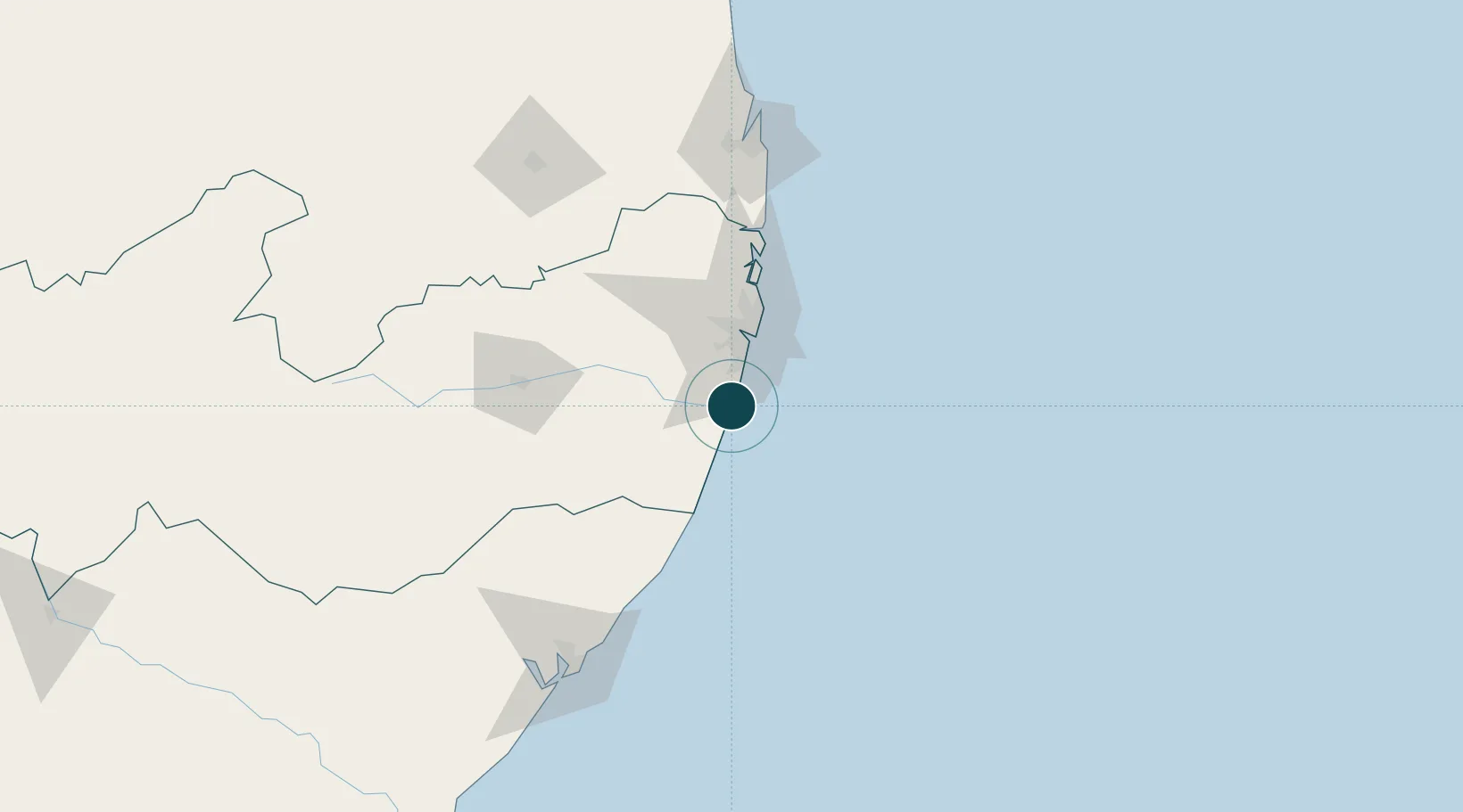
-8.4000°, -34.9667°
16.5 m
Channel depth
1
Container terminals
153.0
Port liner connectivity
Channel & Berth Profile
Pilotage, Tugs & Services
Pilotage compulsoryYES
Pilotage availableYES
Tug assistanceYES
Potable waterYES
Diesel bunkersYES
MedicalYES
Garbage disposalYES
Facilities & Capabilities
Container—
Ro-Ro—
Liquid bulk—
Dry bulk—
Oil terminal—
Break bulk—
Dry dockNO
Repairs—
BunkeringYES
Rail linkYES
Dangerous cargo—
ISPS security—
Harbour Specifications
Harbour size
Small
Harbour type
Coastal (Breakwater)
Shelter
Good
Water body
South Atlantic Ocean
Tidal range
1.9 m
Overhead limit
Yes
Pilotage
Yes
Liner Connectivity
153
PLSCI
Port Liner Shipping Connectivity Index for Porto De Suape, as published by UNCTAD for the latest available quarter. Higher values indicate stronger scheduled liner-shipping integration.
Shown relative to the highest per-port PLSCI in the dataset (1,657.9).
Location
Container Terminals · 1
TECON SUAPE SA
TECSU
Nearby Logistics Neighbours
Ports
- 1Recife40 km
- 2Cabedelo160 km
- 3Porto De Maceio164 km
- 4Natal292 km
- 5Port De Aracaju361 km
Cities
- 1Ipojuca5 km
- 2Recife40 km
- 3Cabedelo Pt / João Pessoa160 km
- 4Maceió161 km
- 5Natal293 km
Airports
Trade Zones
- 1ZPE de Suape (PE)1 km
- 2ZPE de João Pessoa (PB)139 km
- 3ZPE de Macaíba (RN)286 km
- 4ZPE de Barra dos Coqueiros (SE)359 km
- 5ZPE de Pecém (CE) ( Port of Pecém)687 km
DatabookThe Record of Consolidated Knowledge
Brazil beyond logistics?