Transport Functions
Road
Multimodal
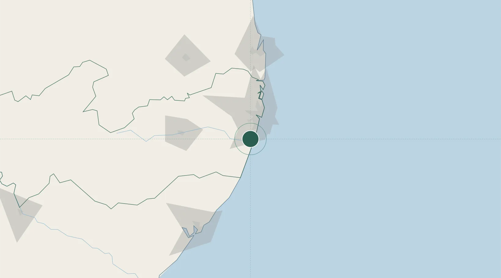
Hub Profile
Place type
Populated place
Region
Pernambuco
Population
105,638
Time zone
America/Recife
Elevation
29 m
Logistics facilities
2
Location
Nearby Logistics Neighbours
Cities
- 1Suape Pt / Ipojuca9 km
- 2Recife38 km
- 3Cabedelo Pt / João Pessoa158 km
- 4Maceió161 km
- 5Natal290 km
Ports
- 1Porto De Suape5 km
- 2Recife39 km
- 3Cabedelo158 km
- 4Porto De Maceio165 km
- 5Natal289 km
Airports
Trade Zones
- 1ZPE de Suape (PE)5 km
- 2ZPE de João Pessoa (PB)136 km
- 3ZPE de Macaíba (RN)282 km
- 4ZPE de Barra dos Coqueiros (SE)358 km
- 5ZPE de Pecém (CE) ( Port of Pecém)681 km
DatabookThe Record of Consolidated Knowledge
Brazil beyond logistics?