Small airport · Brazil
Caruaru AirportSNRU
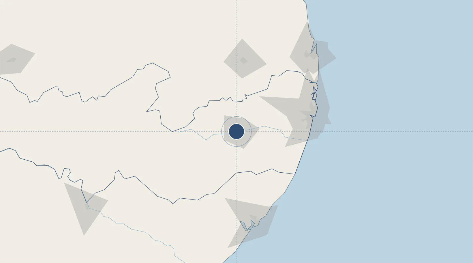
-8.2824°, -36.0135°
5,906 ft
Longest runway
1
Runways
1,891 ft
Elevation
Runway & Layout

Runways · 1
| Runway | Dimensions | Surface | True heading | Lit |
|---|---|---|---|---|
| 13/31 | 5,906 × 98ft | Asphalt | — | — |
Airport Specifications
IATA code
CAU
ICAO code
SNRU
Airport class
Small airport
Scheduled service
Yes
Runway surface
Asphalt
Served city
Caruaru
Location
Nearby Logistics Neighbours
Airports
Cities
- 1Ipojuca111 km
- 2Suape Pt / Ipojuca113 km
- 3Recife127 km
- 4Maceió156 km
- 5Cabedelo Pt / João Pessoa196 km
Ports
- 1Porto De Suape116 km
- 2Recife129 km
- 3Porto De Maceio157 km
- 4Cabedelo196 km
- 5Natal292 km
Trade Zones
- 1ZPE de Suape (PE)115 km
- 2ZPE de João Pessoa (PB)172 km
- 3ZPE de Macaíba (RN)274 km
- 4ZPE de Barra dos Coqueiros (SE)312 km
- 5ZPE de Pecém (CE) ( Port of Pecém)610 km
DatabookThe Record of Consolidated Knowledge
Brazil beyond logistics?