Large airport · Brazil

Zumbi dos Palmares International AirportSBMO
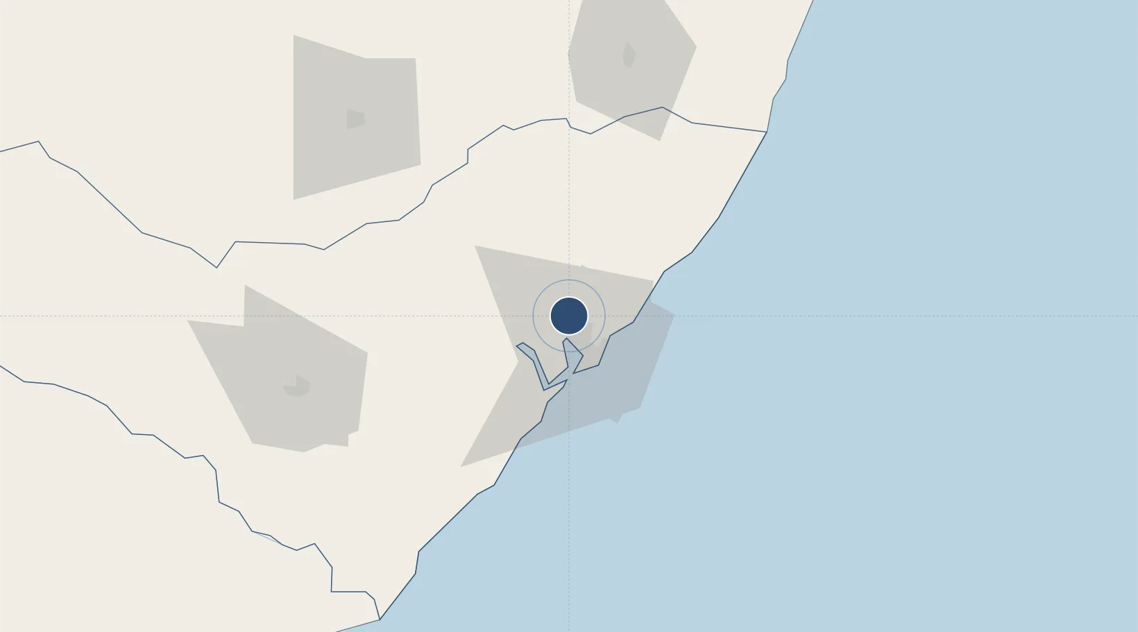
-9.5126°, -35.7918°
8,537 ft
Longest runway
1
Runways
387 ft
Elevation

Runway & Layout

Zumbi dos Palmares International Airport runway & taxiway layout
Runway & taxiway layout — OpenStreetMap (ODbL) / OurAirports

Radio Frequencies

TWR
118.25 MHz
MACEIO TWR
APP
119.25 MHz
MACEIO APP
OurAirports

Navaids

MCE VOR-DME Zumbi 115.10 MHz
MCO NDB Maceio 340 kHz
OurAirports

Runways · 1

RunwayDimensions SurfaceTrue headingLit
12/30 8,537 × 148ft Asphalt 100°
OurAirports

Airport Specifications

IATA code
MCZ
OurAirports
ICAO code
SBMO
OurAirports
Airport class
Large airport
OurAirports
Scheduled service
Yes
OurAirports
Runway surface
Asphalt
OurAirports
Served city
Maceió
OurAirports

Location

Location of SBMO
Natural Earth 10m (public domain) · Alagoas · SBMO · -9.51, -35.79GoogleOSMYandex

Nearby Logistics Neighbours

Airports
  1. 1Caruaru Airport139 km
  2. 2Recife/Guararapes - Gilberto Freyre International Airport181 km
  3. 3Aracaju - Santa Maria Airport215 km
  4. 4Presidente João Suassuna Airport250 km
  5. 5Paulo Afonso Airport270 km
Nearest neighbours — logibook spatial index (haversine) over the source coordinates
Cities
  1. 1Maceió18 km
  2. 2Ipojuca153 km
  3. 3Suape Pt / Ipojuca161 km
  4. 4Recife191 km
  5. 5Aracaju206 km
Nearest neighbours — logibook spatial index (haversine) over the source coordinates
Ports
  1. 1Porto De Maceio18 km
  2. 2Porto De Suape153 km
  3. 3Recife192 km
  4. 4Port De Aracaju208 km
  5. 5Cabedelo302 km
Nearest neighbours — logibook spatial index (haversine) over the source coordinates
Trade Zones
  1. 1ZPE de Suape (PE)153 km
  2. 2ZPE de Barra dos Coqueiros (SE)206 km
  3. 3ZPE de João Pessoa (PB)279 km
  4. 4ZPE de Macaíba (RN)406 km
  5. 5Zona Franca Ilhéus (BA)681 km
Nearest neighbours — logibook spatial index (haversine) over the source coordinates
DatabookThe Record of Consolidated Knowledge
Brazil beyond logistics?
Browse databook

All Sources

AirportsOurAirports
Public domain
Portsthe NGA World Port Index
Public domain (US gov)
LocationsUN/LOCODE
UN/LOCODE — free
Trade Zonesthe World Bank SEZ database
CC BY 4.0
Trade ZonesOpen Zone Map
CC BY
InfrastructureOpenStreetMap
ODbL 1.0
← Brazil airports