Large airport · Brazil

Recife/Guararapes - Gilberto Freyre International AirportSBRF
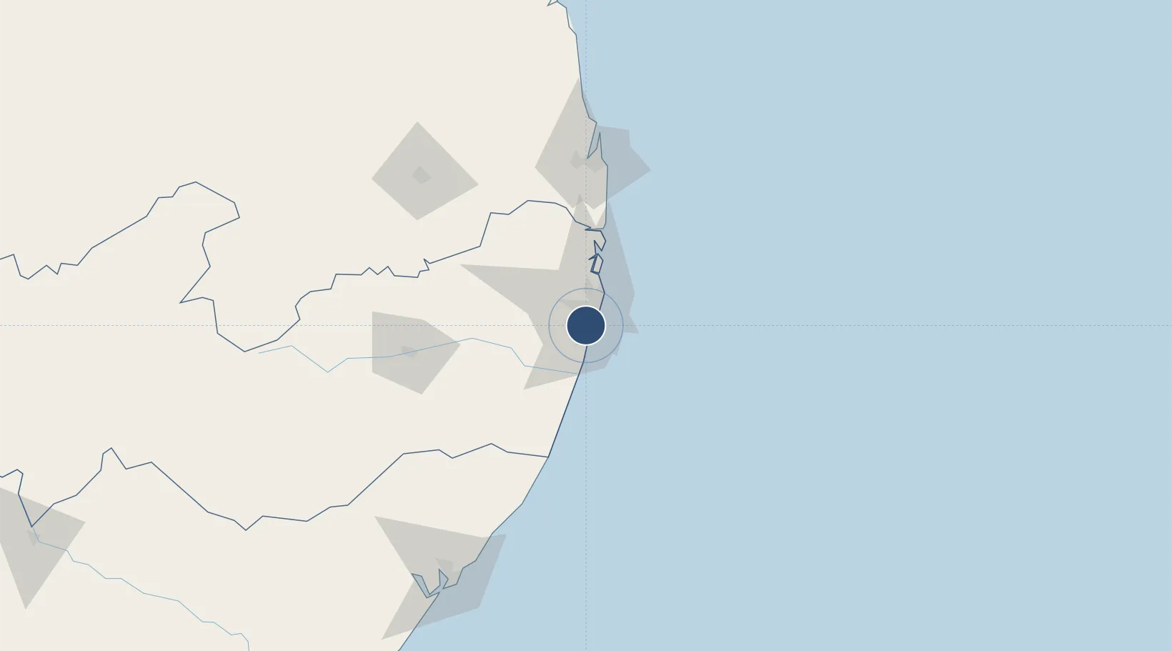
-8.1275°, -34.9230°
9,865 ft
Longest runway
1
Runways
33 ft
Elevation

Runway & Layout

Recife/Guararapes - Gilberto Freyre International Airport runway & taxiway layout
Runway & taxiway layout — OpenStreetMap (ODbL) / OurAirports

Radio Frequencies

ATIS
127.65 MHz
TWR
122.8 MHz
RECIFE TWR
GND
121.85 MHz
APP
119.1 MHz
RECIFE APP
OPS
122.5 MHz
RECIFE OPS
OurAirports

Navaids

REC VOR-DME Recife 116.90 MHz
OurAirports

Runways · 1

RunwayDimensions SurfaceTrue headingLit
18/36 9,865 × 148ft Asphalt 162°
OurAirports

Airport Specifications

IATA code
REC
OurAirports
ICAO code
SBRF
OurAirports
Airport class
Large airport
OurAirports
Scheduled service
Yes
OurAirports
Runway surface
Asphalt
OurAirports
Served city
Recife
OurAirports

Location

Location of SBRF
Natural Earth 10m (public domain) · Pernambuco · SBRF · -8.13, -34.92GoogleOSMYandex

Nearby Logistics Neighbours

Airports
  1. 1Presidente Castro Pinto International Airport109 km
  2. 2Caruaru Airport121 km
  3. 3Presidente João Suassuna Airport144 km
  4. 4Zumbi dos Palmares International Airport181 km
  5. 5Natal Air Force Base249 km
Nearest neighbours — logibook spatial index (haversine) over the source coordinates
Cities
  1. 1Recife10 km
  2. 2Suape Pt / Ipojuca20 km
  3. 3Ipojuca29 km
  4. 4Cabedelo Pt / João Pessoa130 km
  5. 5Maceió190 km
Nearest neighbours — logibook spatial index (haversine) over the source coordinates
Ports
  1. 1Recife11 km
  2. 2Porto De Suape31 km
  3. 3Cabedelo130 km
  4. 4Porto De Maceio193 km
  5. 5Natal262 km
Nearest neighbours — logibook spatial index (haversine) over the source coordinates
Trade Zones
  1. 1ZPE de Suape (PE)30 km
  2. 2ZPE de João Pessoa (PB)109 km
  3. 3ZPE de Macaíba (RN)257 km
  4. 4ZPE de Barra dos Coqueiros (SE)385 km
  5. 5ZPE de Pecém (CE) ( Port of Pecém)666 km
Nearest neighbours — logibook spatial index (haversine) over the source coordinates
DatabookThe Record of Consolidated Knowledge
Brazil beyond logistics?
Browse databook

All Sources

AirportsOurAirports
Public domain
Portsthe NGA World Port Index
Public domain (US gov)
LocationsUN/LOCODE
UN/LOCODE — free
Trade Zonesthe World Bank SEZ database
CC BY 4.0
Trade ZonesOpen Zone Map
CC BY
InfrastructureOpenStreetMap
ODbL 1.0
← Brazil airports