Seaport · Brazil
Porto De MaceioBRMCZ
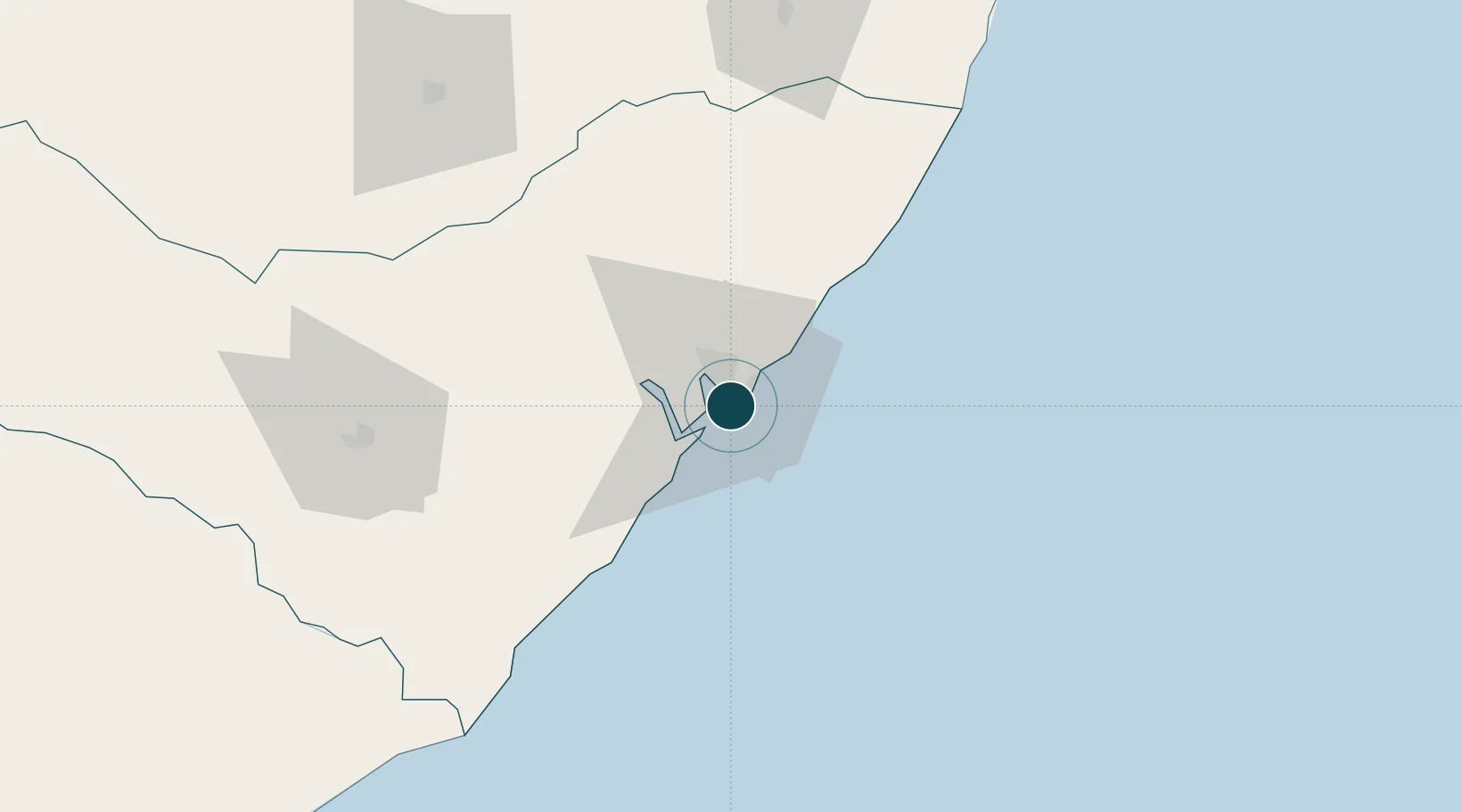
-9.6667°, -35.7333°
14.0 m
Channel depth
20.0
Port liner connectivity
Channel & Berth Profile
Pilotage, Tugs & Services
Pilotage compulsoryYES
Pilotage availableYES
Tug assistanceYES
Salvage tugsNO
Potable waterYES
Diesel bunkersYES
MedicalYES
Garbage disposalNO
Facilities & Capabilities
Container—
Ro-Ro—
Liquid bulk—
Dry bulk—
Oil terminal—
Break bulk—
Dry dock—
RepairsNO
Bunkering—
Rail linkYES
Dangerous cargo—
ISPS security—
Harbour Specifications
Harbour size
Small
Harbour type
Coastal (Breakwater)
Shelter
Fair
Water body
South Atlantic Ocean
Tidal range
1.3 m
Pilotage
Yes
Liner Connectivity
20
PLSCI
Port Liner Shipping Connectivity Index for Porto De Maceio, as published by UNCTAD for the latest available quarter. Higher values indicate stronger scheduled liner-shipping integration.
Shown relative to the highest per-port PLSCI in the dataset (1,657.9).
Location
Nearby Logistics Neighbours
Ports
- 1Porto De Suape164 km
- 2Port De Aracaju200 km
- 3Recife203 km
- 4Cabedelo316 km
- 5Natal436 km
Cities
- 1Ipojuca165 km
- 2Suape Pt / Ipojuca173 km
- 3Aracaju198 km
- 4Barra dos Coqueiros198 km
- 5Recife203 km
Airports
Trade Zones
- 1ZPE de Suape (PE)164 km
- 2ZPE de Barra dos Coqueiros (SE)198 km
- 3ZPE de João Pessoa (PB)293 km
- 4ZPE de Macaíba (RN)422 km
- 5Zona Franca Ilhéus (BA)670 km
DatabookThe Record of Consolidated Knowledge
Brazil beyond logistics?