UN/LOCODE hub · Brazil
BRSUA
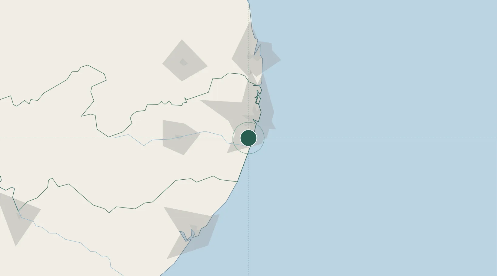
Suape Pt / Ipojuca
-8.2977°, -34.9913°
1
Transport functions
1
Container terminals
Transport Functions
Port
Hub Profile
Region
PE
Logistics facilities
12
Container terminals
1
Location
Nearby Logistics Neighbours
Cities
- 1Ipojuca9 km
- 2Recife30 km
- 3Cabedelo Pt / João Pessoa149 km
- 4Maceió169 km
- 5Natal282 km
Ports
- 1Recife31 km
- 2Cabedelo149 km
- 3Porto De Maceio173 km
- 4Natal281 km
- 5Port De Aracaju368 km
Airports
Trade Zones
- 1ZPE de Suape (PE)11 km
- 2ZPE de João Pessoa (PB)128 km
- 3ZPE de Macaíba (RN)274 km
- 4ZPE de Barra dos Coqueiros (SE)366 km
- 5ZPE de Pecém (CE) ( Port of Pecém)676 km
DatabookThe Record of Consolidated Knowledge
Brazil beyond logistics?