Large airport · Brazil
Presidente Castro Pinto International AirportSBJP
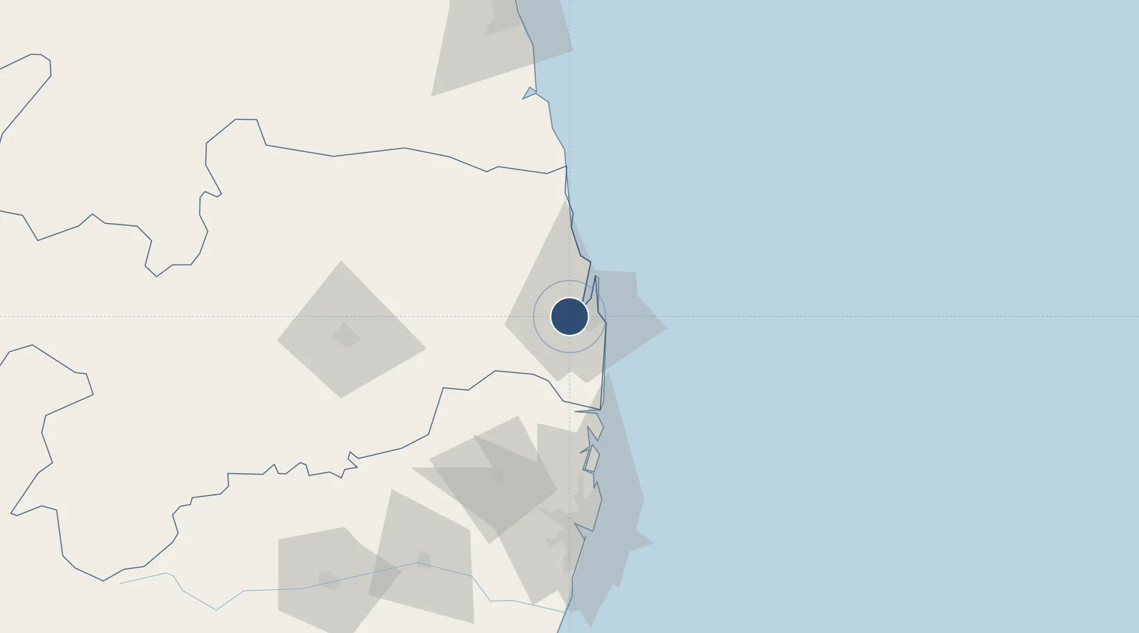
-7.1487°, -34.9506°
8,251 ft
Longest runway
1
Runways
217 ft
Elevation
Runway & Layout

Radio Frequencies
TWR
118.3 MHz
PESSOA TWR
APP
118.3 MHz
PESSOA CON
Navaids
JPS NDB Joao Pessoa 320 kHz
Runways · 1
| Runway | Dimensions | Surface | True heading | Lit |
|---|---|---|---|---|
| 16/34 | 8,251 × 148ft | Asphalt | — | — |
Airport Specifications
IATA code
JPA
ICAO code
SBJP
Airport class
Large airport
Scheduled service
Yes
Runway surface
Asphalt
Served city
João Pessoa
Location
Nearby Logistics Neighbours
Airports
Cities
- 1Cabedelo Pt / João Pessoa24 km
- 2Recife101 km
- 3Suape Pt / Ipojuca128 km
- 4Ipojuca136 km
- 5Natal156 km
Ports
- 1Cabedelo24 km
- 2Recife101 km
- 3Porto De Suape139 km
- 4Natal154 km
- 5Porto De Maceio293 km
Trade Zones
- 1ZPE de João Pessoa (PB)0 km
- 2ZPE de Suape (PE)139 km
- 3ZPE de Macaíba (RN)152 km
- 4ZPE de Barra dos Coqueiros (SE)476 km
- 5ZPE de Pecém (CE) ( Port of Pecém)586 km
DatabookThe Record of Consolidated Knowledge
Brazil beyond logistics?