UN/LOCODE hub · Brazil
BRCDO

Cabedelo Pt / João Pessoa

-6.9667°, -34.8333°
1
Transport functions

Transport Functions

Port
Cabedelo Pt / João Pessoa is also a profiled seaport →
UN/LOCODE

Hub Profile

Region
PB
GeoNames

Location

Location of BRCDO
Natural Earth 10m (public domain) · PB · BRCDO · -6.97, -34.83GoogleOSMYandex

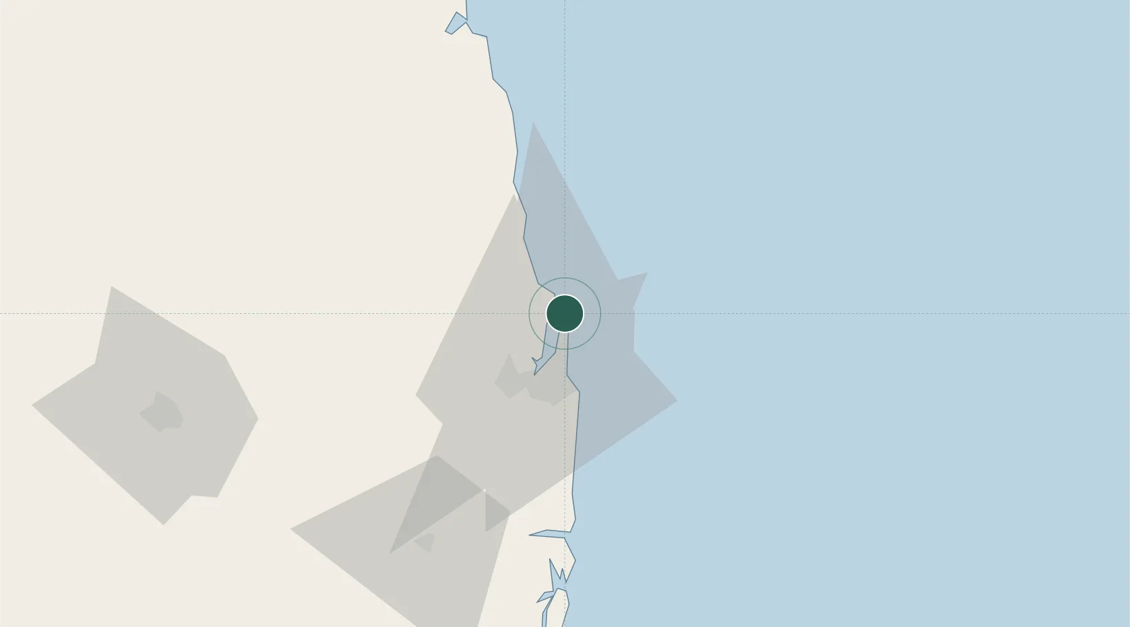
Nearby Logistics Neighbours

Cities
  1. 1Recife121 km
  2. 2Natal139 km
  3. 3Suape Pt / Ipojuca149 km
  4. 4Ipojuca158 km
  5. 5Galinhos263 km
Nearest neighbours — logibook spatial index (haversine) over the source coordinates
Ports
  1. 1Recife121 km
  2. 2Natal138 km
  3. 3Porto De Suape160 km
  4. 4Guamare Oil Terminal283 km
  5. 5Porto De Maceio316 km
Nearest neighbours — logibook spatial index (haversine) over the source coordinates
Trade Zones
  1. 1ZPE de João Pessoa (PB)24 km
  2. 2ZPE de Macaíba (RN)139 km
  3. 3ZPE de Suape (PE)160 km
  4. 4ZPE de Barra dos Coqueiros (SE)500 km
  5. 5ZPE de Pecém (CE) ( Port of Pecém)583 km
Nearest neighbours — logibook spatial index (haversine) over the source coordinates
DatabookThe Record of Consolidated Knowledge
Brazil beyond logistics?
Browse databook

All Sources

LocationsUN/LOCODE
UN/LOCODE — free
Portsthe NGA World Port Index
Public domain (US gov)
AirportsOurAirports
Public domain
Trade Zonesthe World Bank SEZ database
CC BY 4.0
Trade ZonesOpen Zone Map
CC BY
← Brazil locations