Transport Functions
Port
Road
Airport
Multimodal
Hub Profile
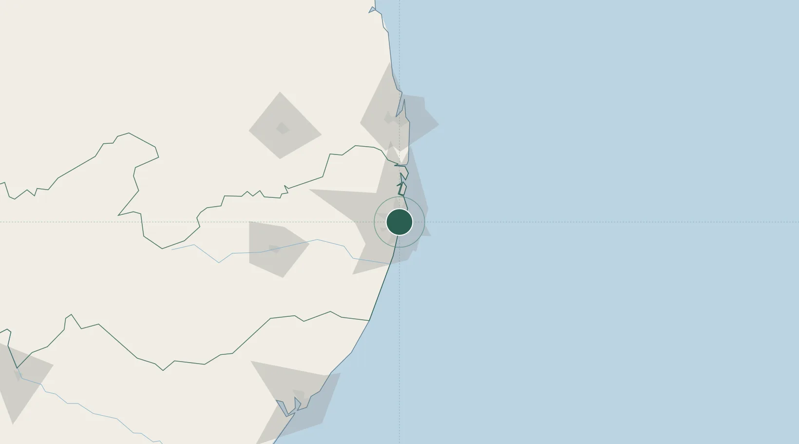
Place type
Regional capital
Region
Pernambuco
Population
1,653,461
Time zone
America/Recife
Elevation
8 m
Location
Nearby Logistics Neighbours
Cities
- 1Suape Pt / Ipojuca30 km
- 2Ipojuca38 km
- 3Cabedelo Pt / João Pessoa121 km
- 4Maceió199 km
- 5Natal256 km
Ports
- 1Porto De Suape40 km
- 2Cabedelo121 km
- 3Porto De Maceio203 km
- 4Natal255 km
- 5Guamare Oil Terminal386 km
Airports
Trade Zones
- 1ZPE de Suape (PE)40 km
- 2ZPE de João Pessoa (PB)101 km
- 3ZPE de Macaíba (RN)250 km
- 4ZPE de Barra dos Coqueiros (SE)395 km
- 5ZPE de Pecém (CE) ( Port of Pecém)663 km
DatabookThe Record of Consolidated Knowledge
Brazil beyond logistics?