Transport Functions
Port
Road
Airport
Hub Profile
Place type
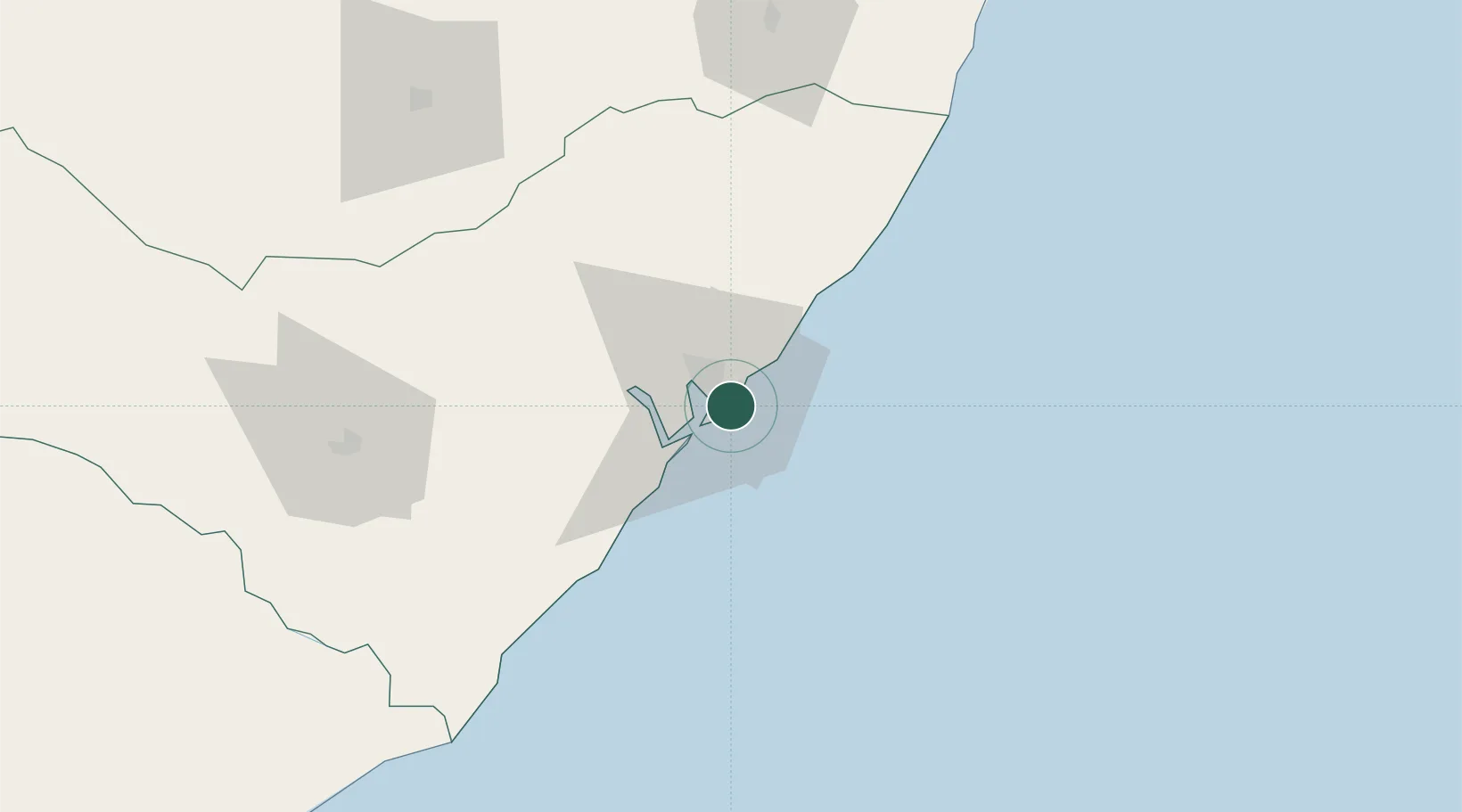
Regional capital
Region
Alagoas
Population
1,031,597
Time zone
America/Maceio
Elevation
11 m
Location
Nearby Logistics Neighbours
Cities
- 1Ipojuca161 km
- 2Suape Pt / Ipojuca169 km
- 3Recife199 km
- 4Aracaju202 km
- 5Barra dos Coqueiros202 km
Ports
- 1Porto De Suape161 km
- 2Recife200 km
- 3Port De Aracaju204 km
- 4Cabedelo313 km
- 5Natal434 km
Airports
Trade Zones
- 1ZPE de Suape (PE)161 km
- 2ZPE de Barra dos Coqueiros (SE)201 km
- 3ZPE de João Pessoa (PB)290 km
- 4ZPE de Macaíba (RN)420 km
- 5Zona Franca Ilhéus (BA)674 km
DatabookThe Record of Consolidated Knowledge
Brazil beyond logistics?