Large airport · Brazil

Ministro Victor Konder International AirportSBNF
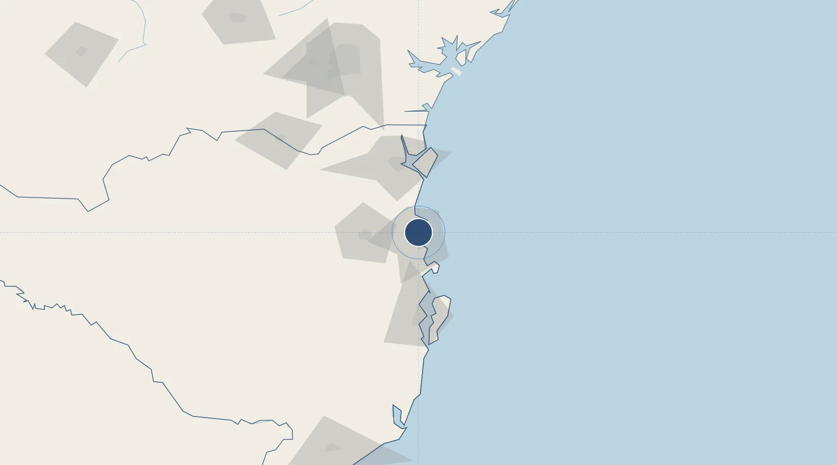
-26.8794°, -48.6510°
5,906 ft
Longest runway
1
Runways
18 ft
Elevation

Runway & Layout

Ministro Victor Konder International Airport runway & taxiway layout
Runway & taxiway layout — OpenStreetMap (ODbL) / OurAirports

Radio Frequencies

ATIS
127.625 MHz
TWR
118.2 MHz
NAVEGANTES TWR
APP
119.5 MHz
NAVEGANTES APP
OurAirports

Navaids

NVG NDB Navegantes 235 kHz
OurAirports

Runways · 1

RunwayDimensions SurfaceTrue headingLit
08/26 5,906 × 148ft Asphalt
OurAirports

Airport Specifications

IATA code
NVT
OurAirports
ICAO code
SBNF
OurAirports
Airport class
Large airport
OurAirports
Scheduled service
Yes
OurAirports
Runway surface
Asphalt
OurAirports
Served city
Navegantes
OurAirports

Location

Location of SBNF
Natural Earth 10m (public domain) · Santa Catarina · SBNF · -26.88, -48.65GoogleOSMYandex

Nearby Logistics Neighbours

Airports
  1. 1Lauro Carneiro de Loyola Airport74 km
  2. 2Batalhão de Operações Aéreas do CBMSC Heliport83 km
  3. 3Hercílio Luz International Airport89 km
  4. 4Curitiba-Afonso Pena International Airport159 km
  5. 5Bacacheri Airport174 km
Nearest neighbours — logibook spatial index (haversine) over the source coordinates
Cities
  1. 1Navegantes3 km
  2. 2Itajaí6 km
  3. 3Balneário Camboriú12 km
  4. 4Porto Belo29 km
  5. 5Joinville67 km
Nearest neighbours — logibook spatial index (haversine) over the source coordinates
Ports
  1. 1Itajai5 km
  2. 2Sao Francisco70 km
  3. 3Imbituba151 km
  4. 4Paranagua154 km
  5. 5Laguna181 km
Nearest neighbours — logibook spatial index (haversine) over the source coordinates
Trade Zones
  1. 1ZPE de Imbituba (SC)82 km
  2. 2Zona Franca Puerto Iguazu Free Trade Zone607 km
  3. 3Zona Franca Internacional623 km
  4. 4Zona Franca Global624 km
  5. 5ZPE de Itaguaí (RJ)661 km
Nearest neighbours — logibook spatial index (haversine) over the source coordinates
DatabookThe Record of Consolidated Knowledge
Brazil beyond logistics?
Browse databook

All Sources

AirportsOurAirports
Public domain
Portsthe NGA World Port Index
Public domain (US gov)
LocationsUN/LOCODE
UN/LOCODE — free
Trade Zonesthe World Bank SEZ database
CC BY 4.0
Trade ZonesOpen Zone Map
CC BY
InfrastructureOpenStreetMap
ODbL 1.0
← Brazil airports