UN/LOCODE hub · Brazil
BRSFS
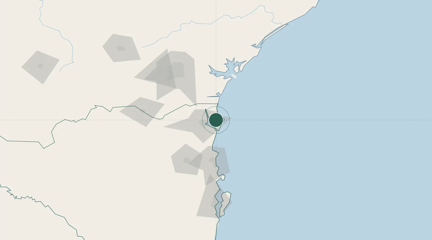
São Francisco do Sul
-26.2439°, -48.6232°
52,674
Population
5
Transport functions
1
Container terminals
Transport Functions
Port
Rail
Road
Airport
Multimodal
Hub Profile
Place type
Populated place
Region
Santa Catarina
Population
52,674
Time zone
America/Sao_Paulo
Elevation
16 m
Logistics facilities
4
Container terminals
1
Location
Nearby Logistics Neighbours
Cities
- 1Itapoá11 km
- 2Joinville22 km
- 3Navegantes71 km
- 4Itajaí72 km
- 5Pontal do Paraná76 km
Airports
Trade Zones
- 1ZPE de Imbituba (SC)152 km
- 2Zona Franca Puerto Iguazu Free Trade Zone598 km
- 3Zona Franca Internacional614 km
- 4ZPE de Itaguaí (RJ)615 km
- 5Zona Franca Global615 km
DatabookThe Record of Consolidated Knowledge
Brazil beyond logistics?