Large airport · Brazil
Curitiba-Afonso Pena International AirportSBCT
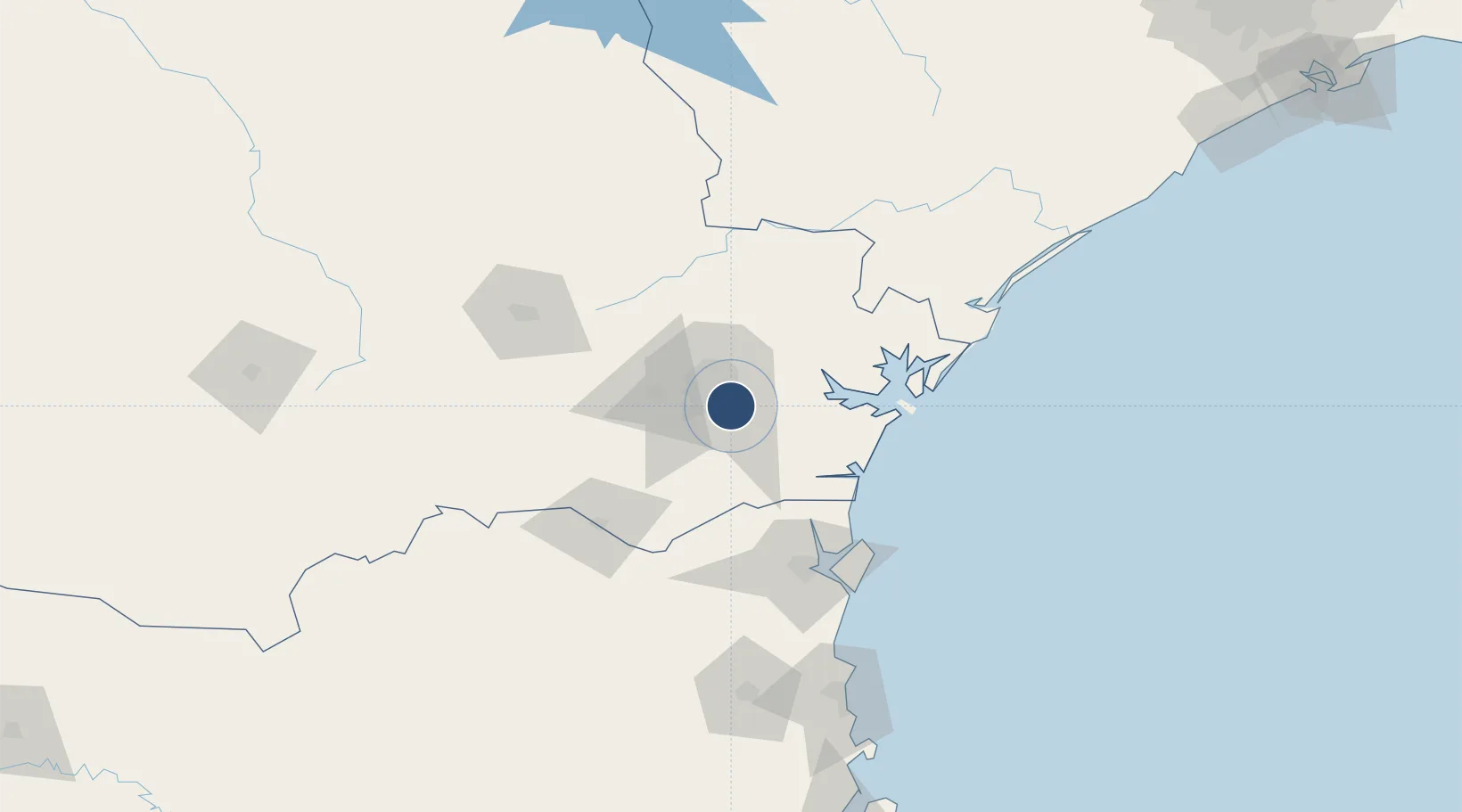
-25.5285°, -49.1758°
7,277 ft
Longest runway
2
Runways
2,988 ft
Elevation
Runway & Layout

Radio Frequencies
ATIS
127.8 MHz
TWR
118.55 MHz
CURITIBA TWR
GND
121.9 MHz
APP
119.95 MHz
CURITIBA APP
Navaids
CRT NDB Curitiba 390 kHz
CTB VOR-DME Curitiba 116.50 MHz
PNH NDB Pinhais 255 kHz
Runways · 2
| Runway | Dimensions | Surface | True heading | Lit |
|---|---|---|---|---|
| 15/33 | 7,277 × 148ft | Asphalt | 136° | ✓ |
| 11/29 | 5,899 × 148ft | Asphalt | — | — |
Airport Specifications
IATA code
CWB
ICAO code
SBCT
Airport class
Large airport
Scheduled service
Yes
Runway surface
Asphalt
Served city
Curitiba
Location
Nearby Logistics Neighbours
Airports
Cities
- 1Curitiba5 km
- 2Araucária23 km
- 3Almirante Tamandaré28 km
- 4Rio Branco do Sul41 km
- 5Antonina49 km
Ports
- 1Paranagua66 km
- 2Sao Francisco97 km
- 3Itajai164 km
- 4Imbituba305 km
- 5Laguna333 km
Trade Zones
- 1ZPE de Imbituba (SC)240 km
- 2ZPE de Bataguassú (MS)539 km
- 3Zona Franca Puerto Iguazu Free Trade Zone541 km
- 4Zona Franca Internacional555 km
- 5Zona Franca Global556 km
DatabookThe Record of Consolidated Knowledge
Brazil beyond logistics?