UN/LOCODE hub · Brazil
BRPPN
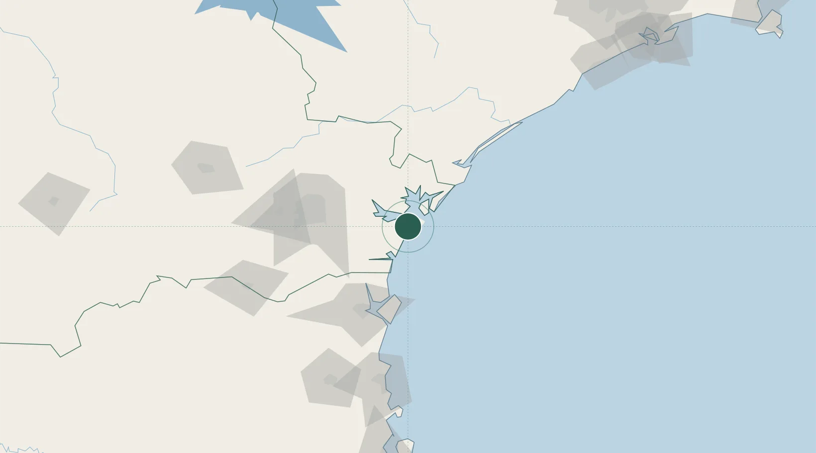
Pontal do Paraná
-25.5833°, -48.4333°
30,426
Population
2
Transport functions
Transport Functions
Port
Road
Hub Profile
Place type
Populated place
Region
Paraná
Population
30,426
Time zone
America/Sao_Paulo
Elevation
7 m
Location
Nearby Logistics Neighbours
Cities
- 1Paranaguá14 km
- 2Antonina33 km
- 3Itapoá65 km
- 4São Francisco do Sul76 km
- 5Curitiba79 km
Ports
- 1Paranagua13 km
- 2Sao Francisco77 km
- 3Itajai150 km
- 4Santos282 km
- 5Imbituba296 km
Airports
Trade Zones
- 1ZPE de Imbituba (SC)226 km
- 2ZPE de Itaguaí (RJ)558 km
- 3ZPE de Bataguassú (MS)593 km
- 4Zona Franca Puerto Iguazu Free Trade Zone615 km
- 5ZPE de Fernandópolis (SP)617 km
DatabookThe Record of Consolidated Knowledge
Brazil beyond logistics?