Medium airport · Brazil
Bacacheri AirportSBBI
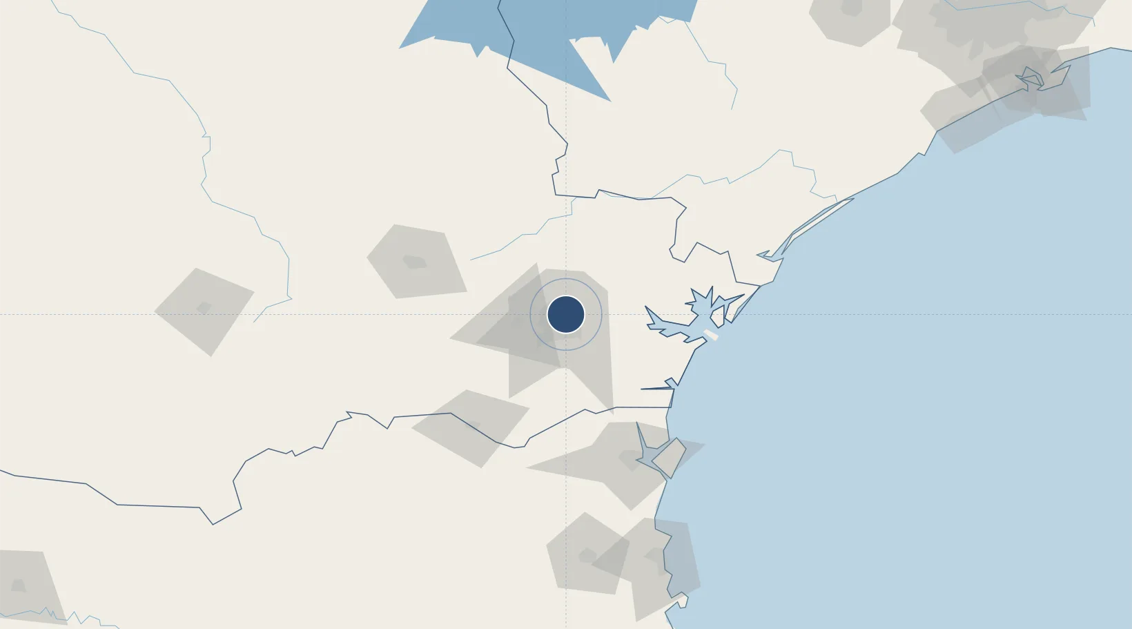
-25.4051°, -49.2320°
4,560 ft
Longest runway
1
Runways
3,057 ft
Elevation
Runway & Layout

Radio Frequencies
TWR
118.9 MHz
GND
121.8 MHz
APP
119.95 MHz
CURITIBA APP
Navaids
BCH NDB Bacacheri 300 kHz
Runways · 1
| Runway | Dimensions | Surface | True heading | Lit |
|---|---|---|---|---|
| 18/36 | 4,560 × 98ft | Asphalt | 155° | ✓ |
Airport Specifications
IATA code
BFH
ICAO code
SBBI
Airport class
Medium airport
Scheduled service
No
Runway surface
Asphalt
Served city
Curitiba
Location
Nearby Logistics Neighbours
Airports
Cities
- 1Curitiba11 km
- 2Almirante Tamandaré14 km
- 3Araucária26 km
- 4Rio Branco do Sul26 km
- 5Antonina53 km
Ports
- 1Paranagua73 km
- 2Sao Francisco111 km
- 3Itajai178 km
- 4Imbituba319 km
- 5Santos338 km
Trade Zones
- 1ZPE de Imbituba (SC)255 km
- 2ZPE de Bataguassú (MS)525 km
- 3Zona Franca Puerto Iguazu Free Trade Zone536 km
- 4Zona Franca Internacional550 km
- 5Zona Franca Global550 km
DatabookThe Record of Consolidated Knowledge
Brazil beyond logistics?