Medium airport · Brazil

Lauro Carneiro de Loyola AirportSBJV
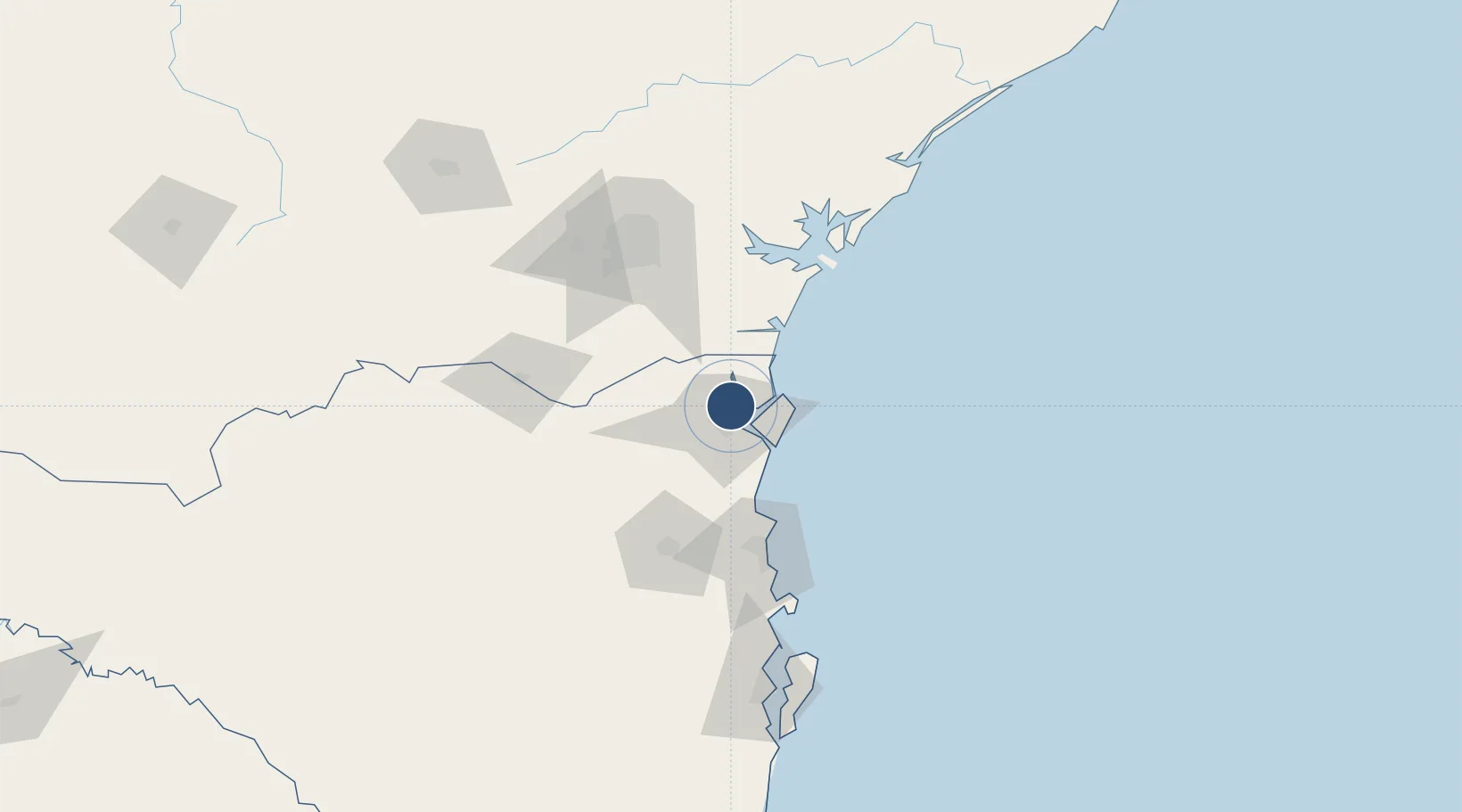
-26.2245°, -48.7974°
5,381 ft
Longest runway
1
Runways
15 ft
Elevation

Runway & Layout

Lauro Carneiro de Loyola Airport runway & taxiway layout
Runway & taxiway layout — OpenStreetMap (ODbL) / OurAirports

Radio Frequencies

AFIS
118 MHz
TWR
OurAirports

Navaids

GAB NDB Gabi 245 kHz
JNV VOR-DME Joinville 115.10 MHz
OurAirports

Runways · 1

RunwayDimensions SurfaceTrue headingLit
15/33 5,381 × 148ft Asphalt
OurAirports

Airport Specifications

IATA code
JOI
OurAirports
ICAO code
SBJV
OurAirports
Airport class
Medium airport
OurAirports
Scheduled service
Yes
OurAirports
Runway surface
Asphalt
OurAirports
Served city
Joinville
OurAirports

Location

Location of SBJV
Natural Earth 10m (public domain) · Santa Catarina · SBJV · -26.22, -48.80GoogleOSMYandex

Nearby Logistics Neighbours

Airports
  1. 1Ministro Victor Konder International Airport74 km
  2. 2Curitiba-Afonso Pena International Airport86 km
  3. 3Bacacheri Airport101 km
  4. 4Sikorski Heliport109 km
  5. 5Batalhão de Operações Aéreas do CBMSC Heliport157 km
Nearest neighbours — logibook spatial index (haversine) over the source coordinates
Cities
  1. 1Joinville9 km
  2. 2São Francisco do Sul18 km
  3. 3Itapoá20 km
  4. 4Navegantes74 km
  5. 5Itajaí74 km
Nearest neighbours — logibook spatial index (haversine) over the source coordinates
Ports
  1. 1Sao Francisco17 km
  2. 2Itajai79 km
  3. 3Paranagua85 km
  4. 4Imbituba224 km
  5. 5Laguna253 km
Nearest neighbours — logibook spatial index (haversine) over the source coordinates
Trade Zones
  1. 1ZPE de Imbituba (SC)156 km
  2. 2Zona Franca Puerto Iguazu Free Trade Zone581 km
  3. 3Zona Franca Internacional597 km
  4. 4Zona Franca Global597 km
  5. 5ZPE de Bataguassú (MS)623 km
Nearest neighbours — logibook spatial index (haversine) over the source coordinates
DatabookThe Record of Consolidated Knowledge
Brazil beyond logistics?
Browse databook

All Sources

AirportsOurAirports
Public domain
Portsthe NGA World Port Index
Public domain (US gov)
LocationsUN/LOCODE
UN/LOCODE — free
Trade Zonesthe World Bank SEZ database
CC BY 4.0
Trade ZonesOpen Zone Map
CC BY
InfrastructureOpenStreetMap
ODbL 1.0
← Brazil airports