Heliport · Brazil

Sikorski HeliportSSCY
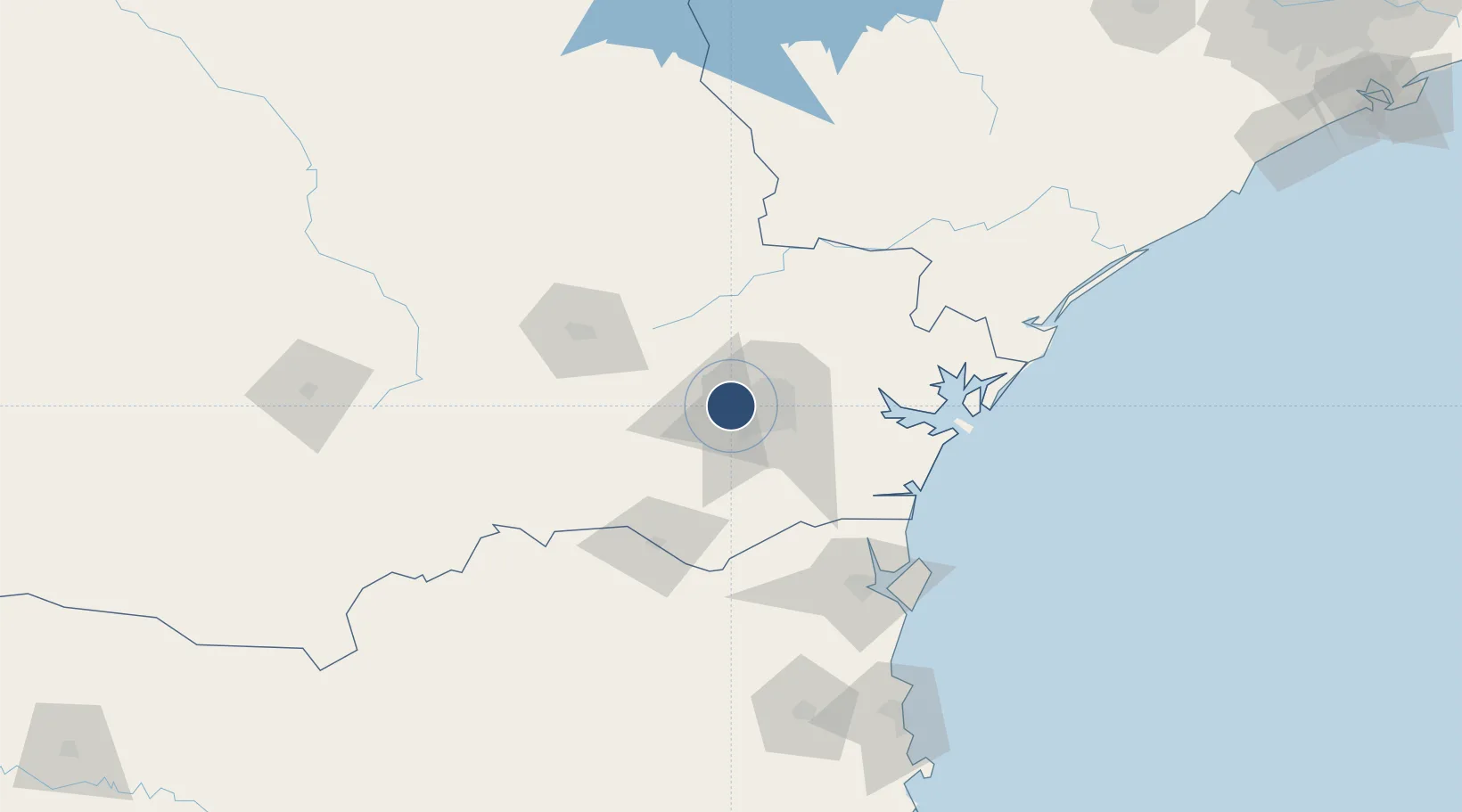
-25.4385°, -49.4485°
59 ft
Longest runway
1
Runways
3,149 ft
Elevation

Runway & Layout

Sikorski Heliport runway & taxiway layout
Runway & taxiway layout — OpenStreetMap (ODbL) / OurAirports

Radio Frequencies

COM
130.4 MHz
Coordination
Company
125.55 MHz
Sikorski
OurAirports

Runways · 1

RunwayDimensions SurfaceTrue headingLit
2/28 59 × 59ft Concrete
OurAirports

Airport Specifications

ICAO code
SSCY
OurAirports
Airport class
Heliport
OurAirports
Scheduled service
Yes
OurAirports
Runway surface
Concrete
OurAirports
Served city
Campo Largo
OurAirports

Location

Location of SSCY
Natural Earth 10m (public domain) · Paraná · SSCY · -25.44, -49.45GoogleOSMYandex

Nearby Logistics Neighbours

Airports
  1. 1Bacacheri Airport22 km
  2. 2Curitiba-Afonso Pena International Airport29 km
  3. 3Ponta Grossa Airport - Comandante Antonio Amilton Beraldo75 km
  4. 4Lauro Carneiro de Loyola Airport109 km
  5. 5Telêmaco Borba Airport174 km
Nearest neighbours — logibook spatial index (haversine) over the source coordinates
Cities
  1. 1Araucária17 km
  2. 2Almirante Tamandaré21 km
  3. 3Curitiba25 km
  4. 4Rio Branco do Sul31 km
  5. 5Antonina75 km
Nearest neighbours — logibook spatial index (haversine) over the source coordinates
Ports
  1. 1Paranagua94 km
  2. 2Sao Francisco122 km
  3. 3Itajai183 km
  4. 4Imbituba320 km
  5. 5Laguna347 km
Nearest neighbours — logibook spatial index (haversine) over the source coordinates
Trade Zones
  1. 1ZPE de Imbituba (SC)258 km
  2. 2Zona Franca Puerto Iguazu Free Trade Zone514 km
  3. 3ZPE de Bataguassú (MS)514 km
  4. 4Zona Franca Internacional528 km
  5. 5Zona Franca Global529 km
Nearest neighbours — logibook spatial index (haversine) over the source coordinates
DatabookThe Record of Consolidated Knowledge
Brazil beyond logistics?
Browse databook

All Sources

AirportsOurAirports
Public domain
Portsthe NGA World Port Index
Public domain (US gov)
LocationsUN/LOCODE
UN/LOCODE — free
Trade Zonesthe World Bank SEZ database
CC BY 4.0
Trade ZonesOpen Zone Map
CC BY
InfrastructureOpenStreetMap
ODbL 1.0
← Brazil airports