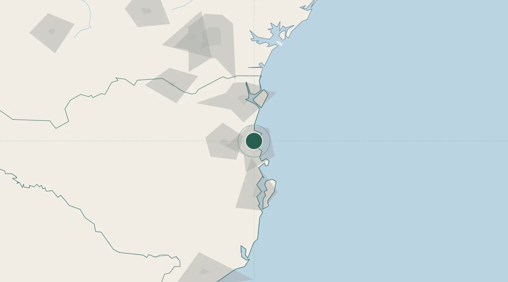
UN/LOCODE hub · Brazil
BRNVT
Navegantes
-26.8779°, -48.6852°
86,401
Population
3
Transport functions
1
Container terminals
Transport Functions
Port
Road
Airport
Hub Profile
Place type
Populated place
Region
Santa Catarina
Population
86,401
Time zone
America/Sao_Paulo
Elevation
7 m
Logistics facilities
9
Container terminals
1
Location
Nearby Logistics Neighbours
Cities
- 1Itajaí3 km
- 2Balneário Camboriú13 km
- 3Porto Belo30 km
- 4Joinville66 km
- 5São Francisco do Sul71 km
Ports
- 1Itajai7 km
- 2Sao Francisco70 km
- 3Imbituba151 km
- 4Paranagua154 km
- 5Laguna181 km
Airports
Trade Zones
- 1ZPE de Imbituba (SC)83 km
- 2Zona Franca Puerto Iguazu Free Trade Zone603 km
- 3Zona Franca Internacional620 km
- 4Zona Franca Global621 km
- 5ZPE de Itaguaí (RJ)663 km
DatabookThe Record of Consolidated Knowledge
Brazil beyond logistics?