Transport Functions
Port
Road
Airport
Hub Profile
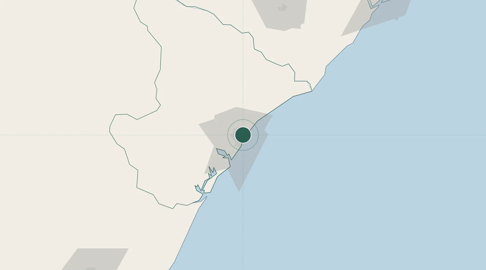
Place type
Regional capital
Region
Sergipe
Population
664,908
Time zone
America/Maceio
Elevation
11 m
Location
Nearby Logistics Neighbours
Cities
- 1Barra dos Coqueiros0 km
- 2Maceió202 km
- 3Pojuca219 km
- 4Camaçari243 km
- 5Candeias255 km
Ports
- 1Porto De Maceio198 km
- 2Aratu263 km
- 3Madre De Deus268 km
- 4Port De Salvador281 km
- 5Porto De Suape359 km
Airports
Trade Zones
- 1ZPE de Barra dos Coqueiros (SE)0 km
- 2ZPE de Suape (PE)359 km
- 3ZPE de João Pessoa (PB)476 km
- 4Zona Franca Ilhéus (BA)478 km
- 5ZPE de Macaíba (RN)585 km
DatabookThe Record of Consolidated Knowledge
Brazil beyond logistics?