Small airport · Brazil

Humberto Ghizzo Bortoluzzi Regional AirportSBJA
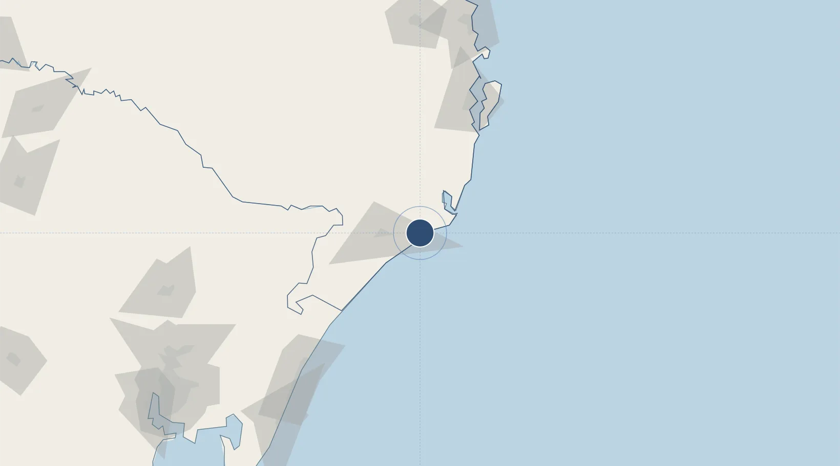
-28.6753°, -49.0596°
8,199 ft
Longest runway
1
Runways
120 ft
Elevation

Runway & Layout

Humberto Ghizzo Bortoluzzi Regional Airport runway & taxiway layout
Runway & taxiway layout — OpenStreetMap (ODbL) / OurAirports

Runways · 1

RunwayDimensions SurfaceTrue headingLit
05/23 8,199 × 98ft Asphalt
OurAirports

Airport Specifications

IATA code
JJG
OurAirports
ICAO code
SBJA
OurAirports
Airport class
Small airport
OurAirports
Scheduled service
Yes
OurAirports
Runway surface
Asphalt
OurAirports
Served city
Jaguaruna
OurAirports

Location

Location of SBJA
Natural Earth 10m (public domain) · Santa Catarina · SBJA · -28.68, -49.06GoogleOSMYandex

Nearby Logistics Neighbours

Airports
  1. 1Forquilhinha - Criciúma Airport36 km
  2. 2Hercílio Luz International Airport122 km
  3. 3Batalhão de Operações Aéreas do CBMSC Heliport129 km
  4. 4Lages Airport156 km
  5. 5Planalto Serrano Regional Airport172 km
Nearest neighbours — logibook spatial index (haversine) over the source coordinates
Cities
  1. 1Sangão10 km
  2. 2Criciúma28 km
  3. 3Capivari de Baixo29 km
  4. 4Urussanga31 km
  5. 5Siderópolis36 km
Nearest neighbours — logibook spatial index (haversine) over the source coordinates
Ports
  1. 1Laguna33 km
  2. 2Imbituba62 km
  3. 3Tramandai179 km
  4. 4Itajai200 km
  5. 5Porto Alegre259 km
Nearest neighbours — logibook spatial index (haversine) over the source coordinates
Trade Zones
  1. 1ZPE de Imbituba (SC)128 km
  2. 2ZPE de Rio Grande (RS)483 km
  3. 3Zona Franca Puerto Iguazu Free Trade Zone643 km
  4. 4Zona Franca Internacional661 km
  5. 5Zona Franca Global662 km
Nearest neighbours — logibook spatial index (haversine) over the source coordinates
DatabookThe Record of Consolidated Knowledge
Brazil beyond logistics?
Browse databook

All Sources

AirportsOurAirports
Public domain
Portsthe NGA World Port Index
Public domain (US gov)
LocationsUN/LOCODE
UN/LOCODE — free
Trade Zonesthe World Bank SEZ database
CC BY 4.0
Trade ZonesOpen Zone Map
CC BY
InfrastructureOpenStreetMap
ODbL 1.0
← Brazil airports