Medium airport · Brazil
Lages AirportSBLJ
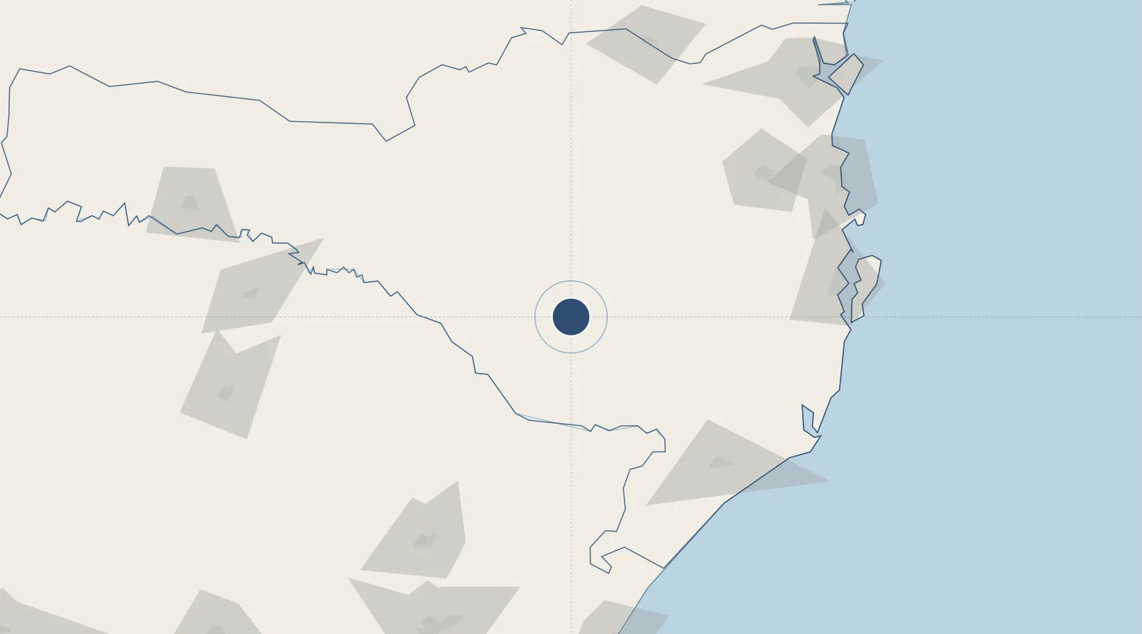
-27.7821°, -50.2815°
5,020 ft
Longest runway
1
Runways
3,065 ft
Elevation
Runway & Layout

Radio Frequencies
AFIS
132.15 MHz
RDO
Navaids
LJS NDB Lages 240 kHz
Runways · 1
| Runway | Dimensions | Surface | True heading | Lit |
|---|---|---|---|---|
| 16/34 | 5,020 × 98ft | Asphalt | — | — |
Airport Specifications
IATA code
LAJ
ICAO code
SBLJ
Airport class
Medium airport
Scheduled service
Yes
Runway surface
Asphalt
Served city
Lages
Location
Nearby Logistics Neighbours
Airports
Cities
- 1Lages5 km
- 2Siderópolis123 km
- 3Urussanga125 km
- 4Criciúma134 km
- 5Sangão146 km
Ports
- 1Imbituba166 km
- 2Laguna167 km
- 3Itajai189 km
- 4Sao Francisco236 km
- 5Tramandai245 km
Trade Zones
- 1ZPE de Imbituba (SC)171 km
- 2Zona Franca Puerto Iguazu Free Trade Zone490 km
- 3Zona Franca Internacional508 km
- 4Zona Franca Global509 km
- 5ZPE de Rio Grande (RS)512 km
DatabookThe Record of Consolidated Knowledge
Brazil beyond logistics?