UN/LOCODE hub · Brazil
BRIBB
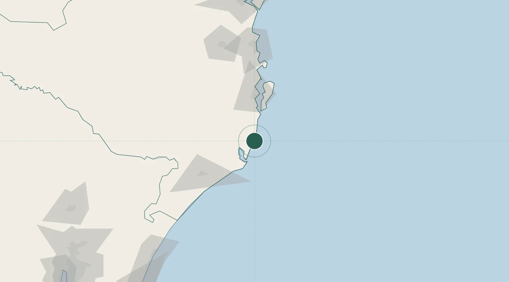
Imbituba
-28.2300°, -48.6518°
52,579
Population
3
Transport functions
1
Container terminals
Transport Functions
Port
Rail
Road
Hub Profile
Place type
Populated place
Region
Santa Catarina
Population
52,579
Time zone
America/Sao_Paulo
Elevation
22 m
Logistics facilities
3
Container terminals
1
Location
Nearby Logistics Neighbours
Cities
- 1Capivari de Baixo37 km
- 2Sangão64 km
- 3Urussanga72 km
- 4Criciúma84 km
- 5Siderópolis85 km
Ports
- 1Laguna33 km
- 2Itajai146 km
- 3Sao Francisco220 km
- 4Tramandai242 km
- 5Paranagua304 km
Airports
Trade Zones
- 1ZPE de Imbituba (SC)69 km
- 2ZPE de Rio Grande (RS)546 km
- 3Zona Franca Puerto Iguazu Free Trade Zone655 km
- 4Zona Franca Internacional673 km
- 5Zona Franca Global674 km
DatabookThe Record of Consolidated Knowledge
Brazil beyond logistics?