Transport Functions
Rail
Road
Hub Profile
Place type
Populated place
Region
Santa Catarina
Population
12,882
Time zone
America/Sao_Paulo
Elevation
28 m
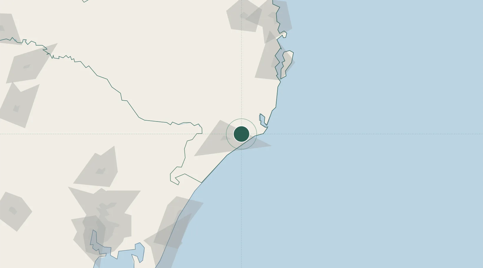
Location
Nearby Logistics Neighbours
Cities
- 1Urussanga21 km
- 2Criciúma22 km
- 3Capivari de Baixo27 km
- 4Siderópolis28 km
- 5Imbituba64 km
Ports
- 1Laguna37 km
- 2Imbituba62 km
- 3Tramandai180 km
- 4Itajai195 km
- 5Porto Alegre257 km
Airports
Trade Zones
- 1ZPE de Imbituba (SC)125 km
- 2ZPE de Rio Grande (RS)484 km
- 3Zona Franca Puerto Iguazu Free Trade Zone633 km
- 4Zona Franca Internacional652 km
- 5Zona Franca Global652 km
DatabookThe Record of Consolidated Knowledge
Brazil beyond logistics?