UN/LOCODE hub · Brazil
BRCBX
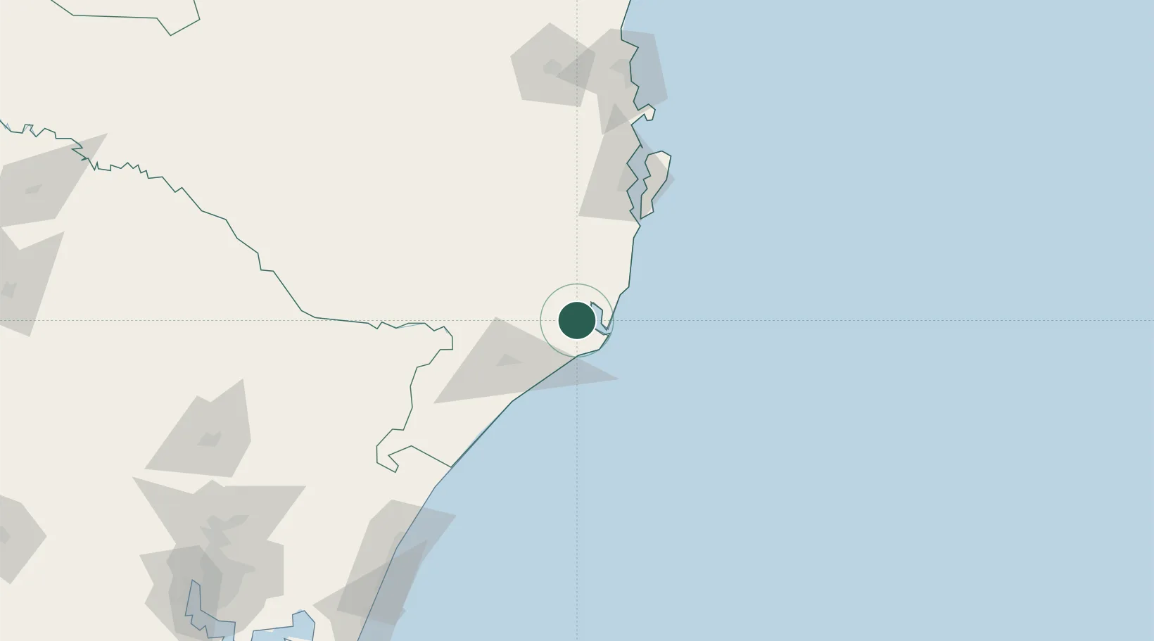
Capivari de Baixo
-28.4333°, -48.9500°
23,975
Population
2
Transport functions
Transport Functions
Rail
Road
Hub Profile
Place type
Populated place
Region
Santa Catarina
Population
23,975
Time zone
America/Sao_Paulo
Elevation
9 m
Location
Nearby Logistics Neighbours
Cities
- 1Sangão27 km
- 2Imbituba37 km
- 3Urussanga37 km
- 4Criciúma47 km
- 5Siderópolis49 km
Ports
- 1Laguna18 km
- 2Imbituba36 km
- 3Itajai172 km
- 4Tramandai207 km
- 5Sao Francisco245 km
Airports
Trade Zones
- 1ZPE de Imbituba (SC)99 km
- 2ZPE de Rio Grande (RS)511 km
- 3Zona Franca Puerto Iguazu Free Trade Zone639 km
- 4Zona Franca Internacional657 km
- 5Zona Franca Global658 km
DatabookThe Record of Consolidated Knowledge
Brazil beyond logistics?