Transport Functions
Rail
Road
Hub Profile
Place type
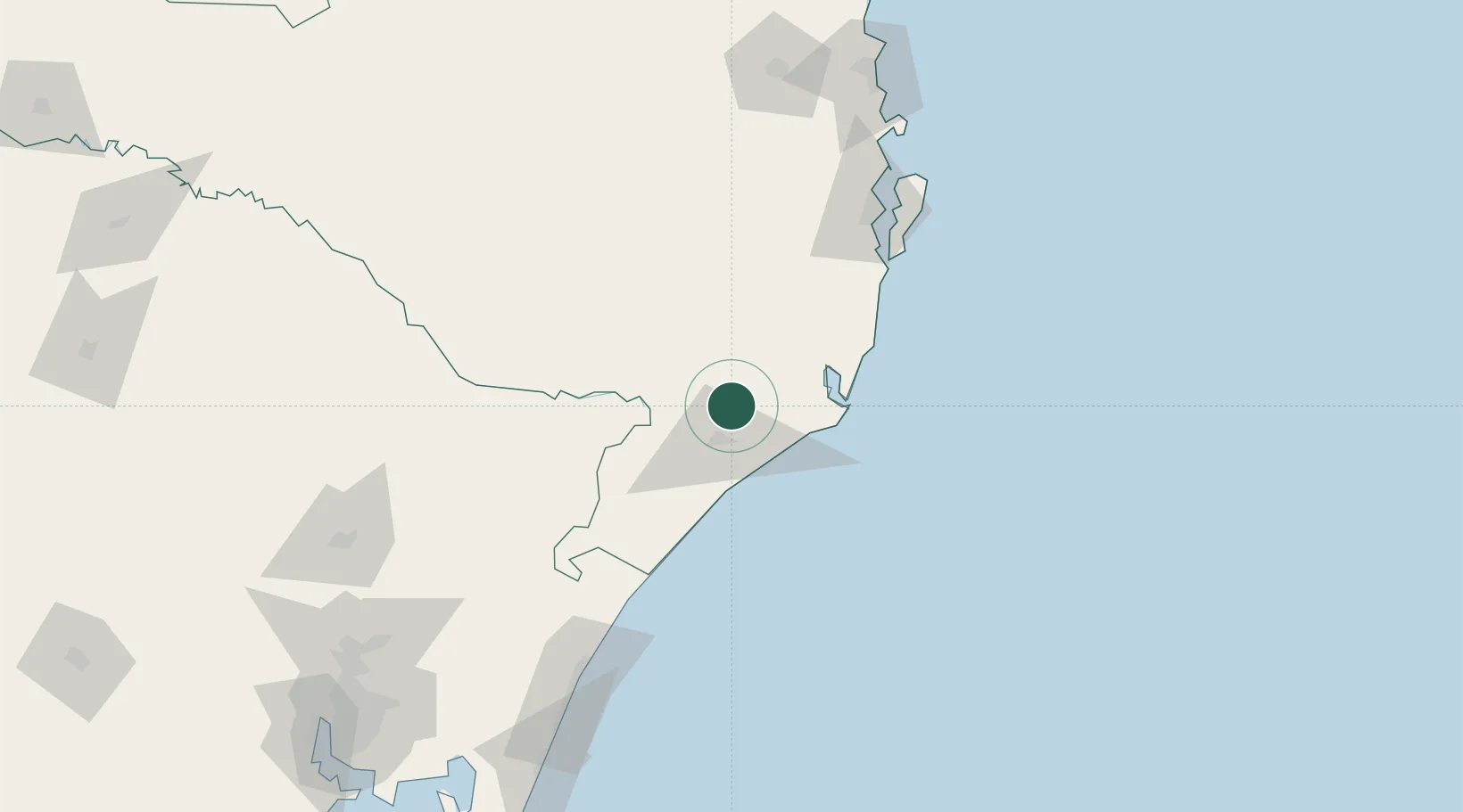
Populated place
Region
Santa Catarina
Population
20,919
Time zone
America/Sao_Paulo
Elevation
49 m
Location
Nearby Logistics Neighbours
Cities
- 1Siderópolis12 km
- 2Criciúma17 km
- 3Sangão21 km
- 4Capivari de Baixo37 km
- 5Imbituba72 km
Ports
- 1Laguna52 km
- 2Imbituba71 km
- 3Tramandai181 km
- 4Itajai190 km
- 5Porto Alegre251 km
Airports
Trade Zones
- 1ZPE de Imbituba (SC)125 km
- 2ZPE de Rio Grande (RS)482 km
- 3Zona Franca Puerto Iguazu Free Trade Zone612 km
- 4Zona Franca Internacional631 km
- 5Zona Franca Global631 km
DatabookThe Record of Consolidated Knowledge
Brazil beyond logistics?