Heliport · Brazil

Batalhão de Operações Aéreas do CBMSC HeliportBR-0467
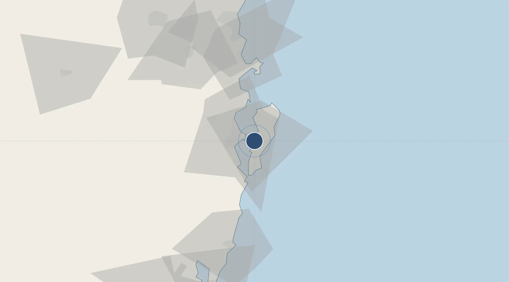
-27.6143°, -48.5283°
67 ft
Longest runway
1
Runways
13 ft
Elevation

Runway & Layout

Batalhão de Operações Aéreas do CBMSC Heliport runway & taxiway layout
Runway & taxiway layout — OpenStreetMap (ODbL) / OurAirports

Runways · 1

RunwayDimensions SurfaceTrue headingLit
H1/H1 67 × 67ft Concrete
OurAirports

Airport Specifications

ICAO code
SSBO
OurAirports
Airport class
Heliport
OurAirports
Scheduled service
Yes
OurAirports
Runway surface
Concrete
OurAirports
Served city
Aéreas do CBMSC
OurAirports

Location

Location of BR-0467
Natural Earth 10m (public domain) · Santa Catarina · BR-0467 · -27.61, -48.53GoogleOSMYandex

Nearby Logistics Neighbours

Airports
  1. 1Hercílio Luz International Airport7 km
  2. 2Ministro Victor Konder International Airport83 km
  3. 3Humberto Ghizzo Bortoluzzi Regional Airport129 km
  4. 4Forquilhinha - Criciúma Airport152 km
  5. 5Lauro Carneiro de Loyola Airport157 km
Nearest neighbours — logibook spatial index (haversine) over the source coordinates
Cities
  1. 1Porto Belo54 km
  2. 2Imbituba70 km
  3. 3Balneário Camboriú71 km
  4. 4Itajaí83 km
  5. 5Navegantes83 km
Nearest neighbours — logibook spatial index (haversine) over the source coordinates
Ports
  1. 1Imbituba70 km
  2. 2Itajai78 km
  3. 3Laguna102 km
  4. 4Sao Francisco152 km
  5. 5Paranagua235 km
Nearest neighbours — logibook spatial index (haversine) over the source coordinates
Trade Zones
  1. 1ZPE de Imbituba (SC)3 km
  2. 2ZPE de Rio Grande (RS)609 km
  3. 3Zona Franca Puerto Iguazu Free Trade Zone640 km
  4. 4Zona Franca Internacional658 km
  5. 5Zona Franca Global659 km
Nearest neighbours — logibook spatial index (haversine) over the source coordinates
DatabookThe Record of Consolidated Knowledge
Brazil beyond logistics?
Browse databook

All Sources

AirportsOurAirports
Public domain
Portsthe NGA World Port Index
Public domain (US gov)
LocationsUN/LOCODE
UN/LOCODE — free
Trade Zonesthe World Bank SEZ database
CC BY 4.0
Trade ZonesOpen Zone Map
CC BY
InfrastructureOpenStreetMap
ODbL 1.0
← Brazil airports