Large airport · Brazil
Hercílio Luz International AirportSBFL
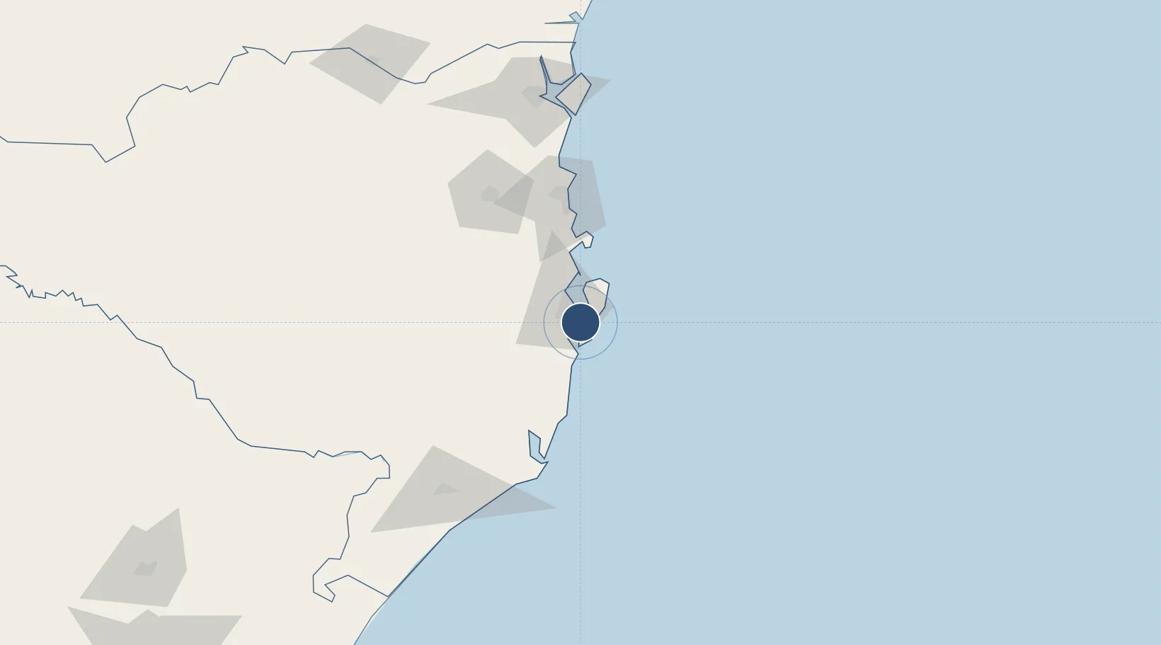
-27.6703°, -48.5525°
7,874 ft
Longest runway
2
Runways
16 ft
Elevation
Runway & Layout

Radio Frequencies
ATIS
127.45 MHz
TWR
118.7 MHz
FLORIANOPOLIS TWR
GND
121.7 MHz
APP
119.65 MHz
FLORIANOPOLIS APP
OPS
122.5 MHz
FLORIANOPOLIS OPS
Navaids
BKO NDB Boko 380 kHz
FLN NDB Florianopolis 295 kHz
IL NDB Cariano 350 kHz
XRO VOR-DME Florianopolis 117.80 MHz
Runways · 2
| Runway | Dimensions | Surface | True heading | Lit |
|---|---|---|---|---|
| 14/32 | 7,874 × 148ft | Asphalt | 159° | ✓ |
| 03/21 | 4,331 × 148ft | Concrete | 012° | — |
Airport Specifications
IATA code
FLN
ICAO code
SBFL
Airport class
Large airport
Scheduled service
Yes
Runway surface
Asphalt
Served city
Florianópolis
Location
Nearby Logistics Neighbours
Airports
Cities
- 1Porto Belo60 km
- 2Imbituba63 km
- 3Balneário Camboriú77 km
- 4Itajaí88 km
- 5Navegantes89 km
Ports
- 1Imbituba64 km
- 2Itajai84 km
- 3Laguna95 km
- 4Sao Francisco158 km
- 5Paranagua241 km
Trade Zones
- 1ZPE de Imbituba (SC)6 km
- 2ZPE de Rio Grande (RS)602 km
- 3Zona Franca Puerto Iguazu Free Trade Zone640 km
- 4Zona Franca Internacional658 km
- 5Zona Franca Global659 km
DatabookThe Record of Consolidated Knowledge
Brazil beyond logistics?