Medium airport · Bulgaria

Balchik AirfieldLBWB
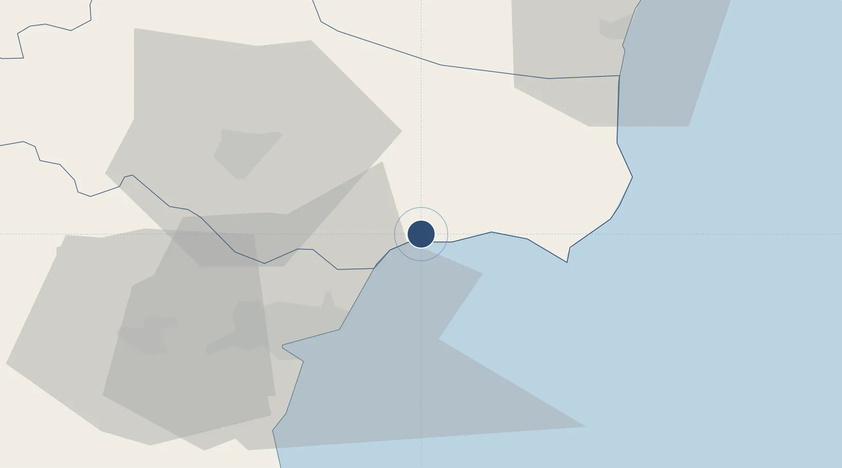
43.4238°, 28.1813°
8,095 ft
Longest runway
1
Runways
660 ft
Elevation

Runway & Layout

Balchik Airfield runway & taxiway layout
Runway & taxiway layout — OpenStreetMap (ODbL) / OurAirports

Runways · 1

RunwayDimensions SurfaceTrue headingLit
16/34 8,095 × 197ft Concrete 158°
OurAirports

Airport Specifications

ICAO code
LBWB
OurAirports
Airport class
Medium airport
OurAirports
Scheduled service
No
OurAirports
Runway surface
Concrete
OurAirports
Served city
Balchik
OurAirports

Location

Location of LBWB
Natural Earth 10m (public domain) · Dobrich · LBWB · 43.42, 28.18GoogleOSMYandex

Nearby Logistics Neighbours

Airports
  1. 1Varna Airport36 km
  2. 2Mihail Kogălniceanu International Airport107 km
  3. 3Burgas Airport109 km
  4. 4Feteşti Borcea Air Base114 km
  5. 5Bezmer Air Base184 km
Nearest neighbours — logibook spatial index (haversine) over the source coordinates
Cities
  1. 1Balchik1 km
  2. 2Ignatievo39 km
  3. 3Varna43 km
  4. 4Valchi Dol45 km
  5. 5Mangalia56 km
Nearest neighbours — logibook spatial index (haversine) over the source coordinates
Ports
  1. 1Varna32 km
  2. 2Mangalia54 km
  3. 3Basarabi85 km
  4. 4Constanta91 km
  5. 5Medgidia92 km
Nearest neighbours — logibook spatial index (haversine) over the source coordinates
Trade Zones
  1. 1Free Zone Constanō£a Sud si Basarabi74 km
  2. 2Bourgas Free Economic Zone119 km
  3. 3Rousse Free Zone181 km
  4. 4Kirklareli Organized Industrial Zone205 km
  5. 5Free zone Brăila206 km
Nearest neighbours — logibook spatial index (haversine) over the source coordinates
DatabookThe Record of Consolidated Knowledge
Bulgaria beyond logistics?
Browse databook

All Sources

AirportsOurAirports
Public domain
Portsthe NGA World Port Index
Public domain (US gov)
LocationsUN/LOCODE
UN/LOCODE — free
Trade Zonesthe World Bank SEZ database
CC BY 4.0
Trade ZonesOpen Zone Map
CC BY
InfrastructureOpenStreetMap
ODbL 1.0
← Bulgaria airports