Transport Functions
Multimodal
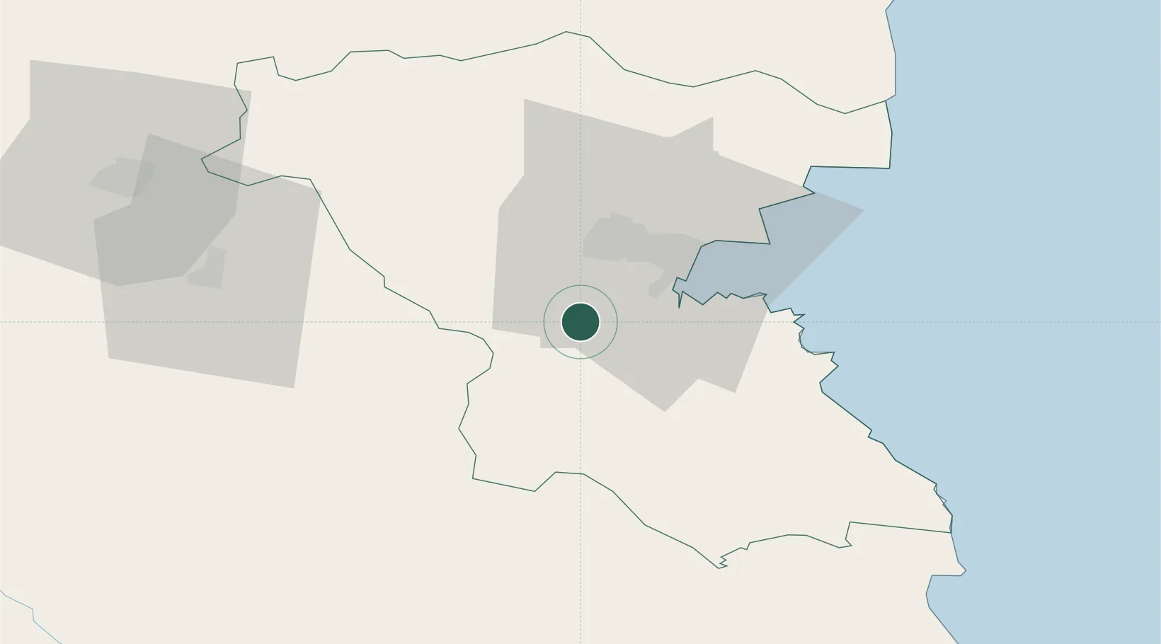
Hub Profile
Place type
Populated place
Region
Burgas
Time zone
Europe/Sofia
Elevation
20 m
Location
Nearby Logistics Neighbours
Airports
- 1Burgas Airport28 km
- 2Bezmer Air Base75 km
- 3Varna Airport103 km
- 4Balchik Airfield136 km
- 5Tekirdağ Çorlu Airport150 km
Trade Zones
DatabookThe Record of Consolidated Knowledge
Bulgaria beyond logistics?