UN/LOCODE hub · Bulgaria
BGAIO

Aitos

42.7167°, 27.2500°
1
Transport functions

Transport Functions

Multimodal
UN/LOCODE

Hub Profile

Region
02
GeoNames

Location

Location of BGAIO
Natural Earth 10m (public domain) · 02 · BGAIO · 42.72, 27.25GoogleOSMYandex

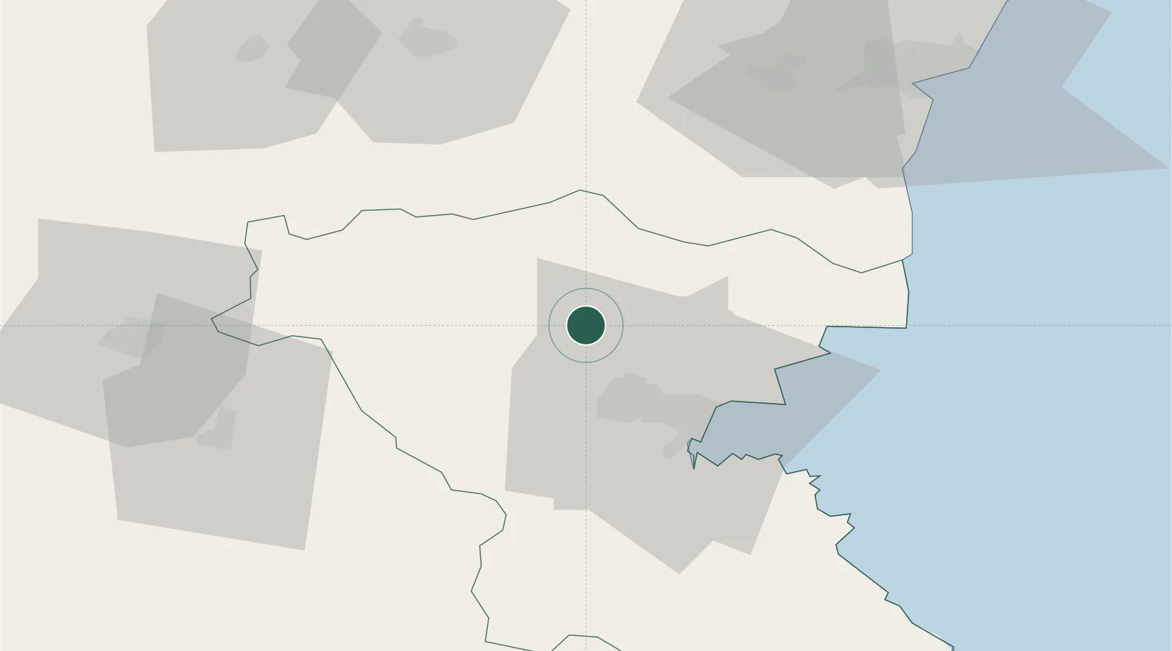
Nearby Logistics Neighbours

Cities
  1. 1Bata21 km
  2. 2Burgas31 km
  3. 3Debelt35 km
  4. 4Venets38 km
  5. 5Nessebar40 km
Nearest neighbours — logibook spatial index (haversine) over the source coordinates
Ports
  1. 1Burgas32 km
  2. 2Varna78 km
  3. 3Mangalia163 km
  4. 4Basarabi187 km
  5. 5Medgidia189 km
Nearest neighbours — logibook spatial index (haversine) over the source coordinates
Airports
  1. 1Burgas Airport27 km
  2. 2Varna Airport74 km
  3. 3Bezmer Air Base79 km
  4. 4Balchik Airfield109 km
  5. 5Gorna Oryahovitsa Airport134 km
Nearest neighbours — logibook spatial index (haversine) over the source coordinates
Trade Zones
  1. 1Bourgas Free Economic Zone26 km
  2. 2Kirklareli Organized Industrial Zone114 km
  3. 3Svilengrad Free Economic Zone137 km
  4. 4Rousse Free Zone164 km
  5. 5European Free Zone167 km
Nearest neighbours — logibook spatial index (haversine) over the source coordinates
DatabookThe Record of Consolidated Knowledge
Bulgaria beyond logistics?
Browse databook

All Sources

LocationsUN/LOCODE
UN/LOCODE — free
Portsthe NGA World Port Index
Public domain (US gov)
AirportsOurAirports
Public domain
Trade Zonesthe World Bank SEZ database
CC BY 4.0
Trade ZonesOpen Zone Map
CC BY
← Bulgaria locations