Transport Functions
Rail
Road
Hub Profile
Place type
Provincial seat
Region
Buenos Aires
Population
38,823
Time zone
America/Argentina/Buenos_Aires
Elevation
97 m
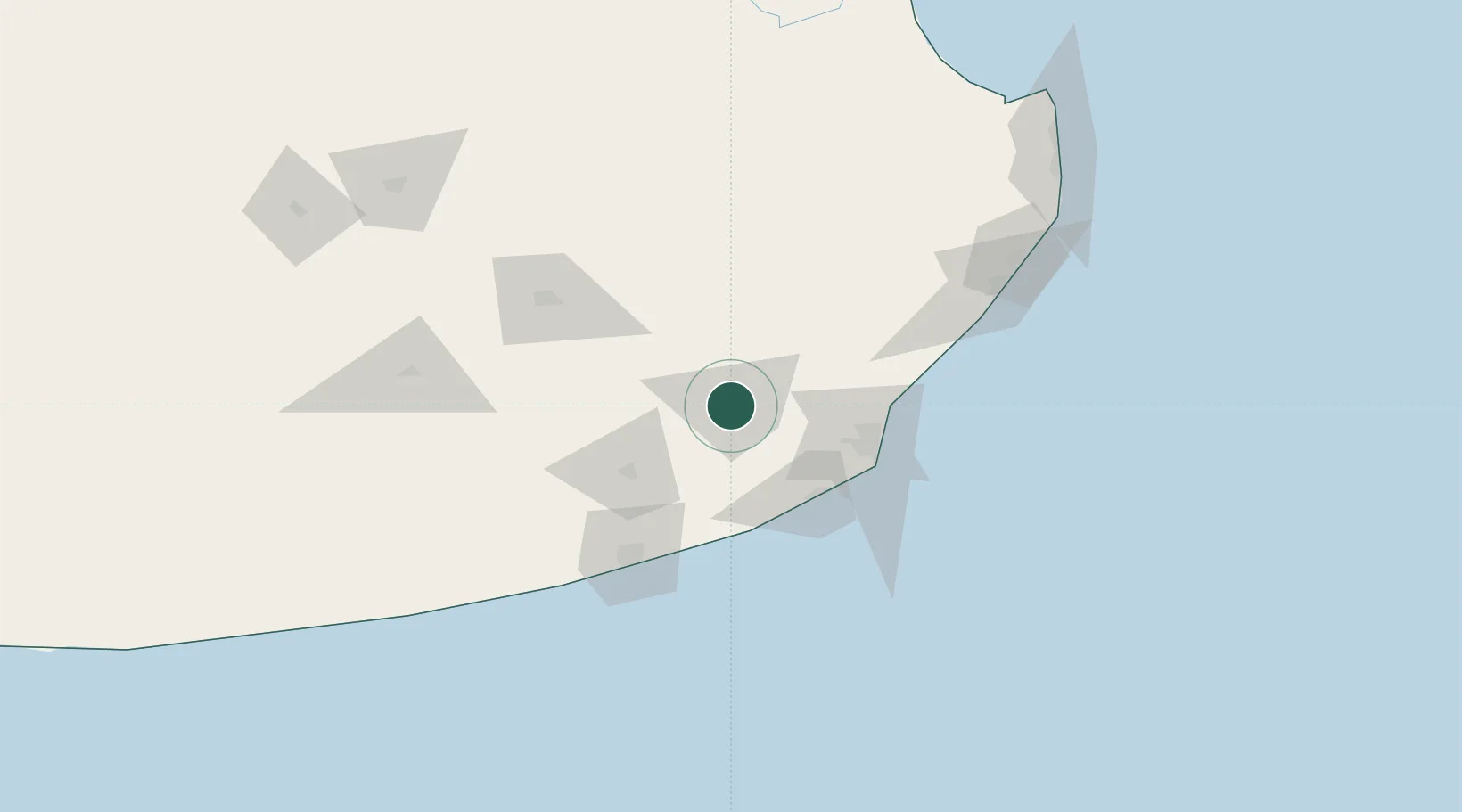
Location
Nearby Logistics Neighbours
Cities
- 1Loberia59 km
- 2Mar del Plata67 km
- 3Quequén87 km
- 4Punta Medanos179 km
- 5Azul185 km
Ports
- 1Mar Del Plata67 km
- 2Quequen92 km
- 3La Plata335 km
- 4Puerto Rosales354 km
- 5Puerto Belgrano355 km
Airports
- 1Ástor Piazzola International Airport60 km
- 2Necochea Airport88 km
- 3Héroes de Malvinas Airport109 km
- 4Villa Gesell Airport127 km
- 5Tres Arroyos Airport192 km
Trade Zones
- 1La Plata Free Trade Zone333 km
- 2Zona Sur Buenos Aires356 km
- 3Zona Franca Bahía Blanca364 km
- 4Aguada Park Free Zone375 km
- 5Colonia Free Zone376 km
DatabookThe Record of Consolidated Knowledge
Argentina beyond logistics?