Transport Functions
Multimodal
Hub Profile
Place type
Provincial seat
Region
Buenos Aires
Time zone
America/Argentina/Buenos_Aires
Elevation
80 m
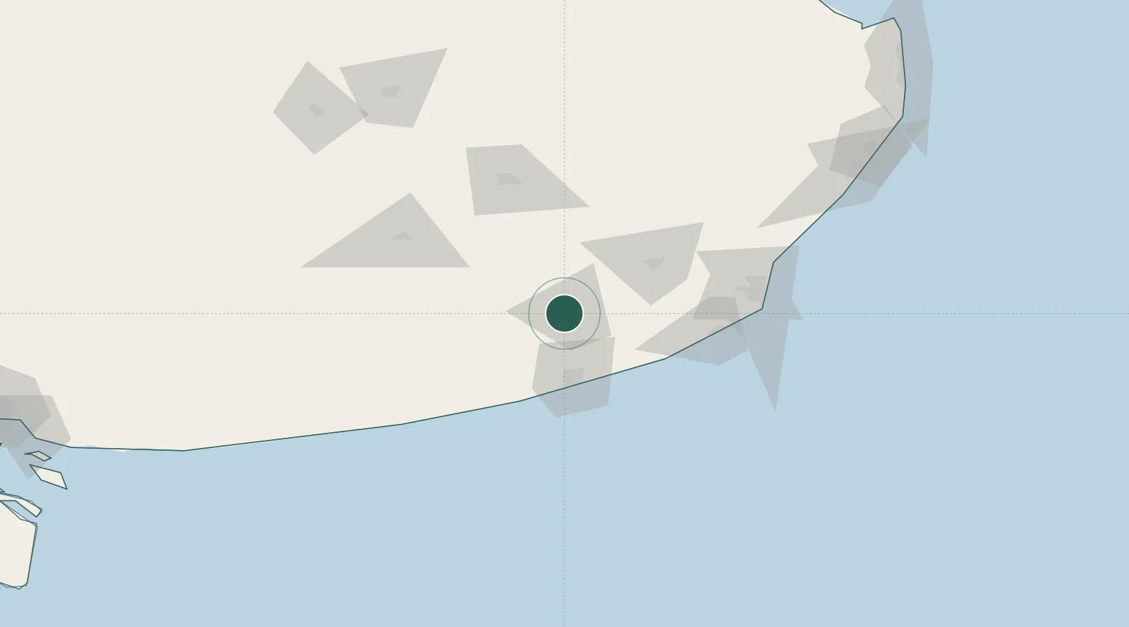
Location
Nearby Logistics Neighbours
Cities
- 1Quequén43 km
- 2Balcarce59 km
- 3Mar del Plata110 km
- 4Tres Arroyos134 km
- 5Azul180 km
Ports
- 1Quequen49 km
- 2Mar Del Plata110 km
- 3Puerto Rosales299 km
- 4Puerto Belgrano300 km
- 5Bahia Blanca311 km
Airports
- 1Necochea Airport38 km
- 2Ástor Piazzola International Airport109 km
- 3Héroes de Malvinas Airport109 km
- 4Tres Arroyos Airport138 km
- 5Villa Gesell Airport185 km
Trade Zones
- 1Zona Franca Bahía Blanca310 km
- 2La Plata Free Trade Zone375 km
- 3Zona Sur Buenos Aires391 km
- 4Colonia Free Zone418 km
- 5Aguada Park Free Zone430 km
DatabookThe Record of Consolidated Knowledge
Argentina beyond logistics?